Catalog Archive
Auction 154, Lot 594

"Nouvelle Carte Generalle de la Mer Mediterranee...", Michelot, Henri

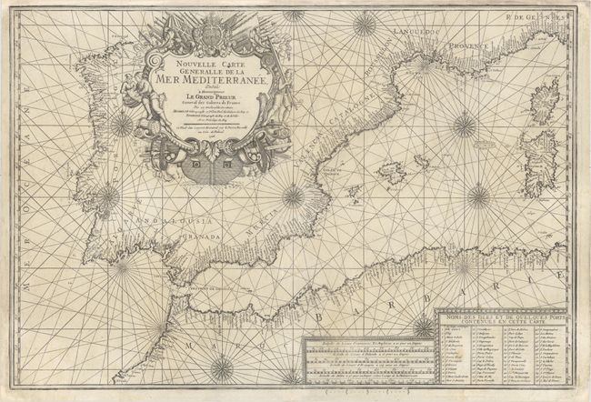
Subject: Western Mediterranean

Period: 1726 (dated)

Publication:

Color: Black & White

Size:
27.3 x 18.6 inches
69.3 x 47.2 cm
Download High Resolution Image
(or just click on image to launch the Zoom viewer)

This detailed sea chart by Henri Michelot and Laurent Bremond of the western Mediterranean Sea covers the area from Spain and the Barbary Coast to Corsica and Sardinia. The coasts are filled with place names, and a legend at bottom right lists additional islands and ports shown on the chart. The chart is adorned with rhumb lines, compass roses, three scales of miles, and a large, finely engraved title cartouche that mimics a ship and features navigators, a slave, cannons, and other weaponry. Engraved by Peter Starckman.

References:

Condition: B+

A dark impression on watermarked paper with a few small spots and two short centerfold separations that have been professionally repaired. Remargined at top with a minor amount of neatline replaced in facsimile.

Estimate: $900 - $1,100

Sold for: $650

Closed on 9/16/2015

Archived