Catalog Archive
Auction 154, Lot 421

"Nieuwe Paskaert van d'Oost Kust van Engelandt van Dover tot Dunwich...", Keulen, Johannes van

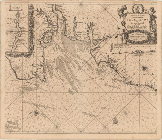
Subject: Southeast England, River Thames

Period: 1682 (circa)

Publication:

Color: Black & White

Size:
22.9 x 19.8 inches
58.2 x 50.3 cm
Download High Resolution Image
(or just click on image to launch the Zoom viewer)

This beautifully engraved chart covers the southeast coast of England from Suffolk south to Kent. The Thames Estuary is prominently shown, and there is an inset at top left surrounded by a floral border that details the river's approach to London. Within the North Sea, numerous soundings, rhumb lines, anchorages, and hazards appear. The coast is peppered with place names, including Harwich, Colchester, Burnham-on-Crouch, and Dover. North is oriented to the right. The stunning title cartouche at top right incorporates the distance scales and features a trio of putti and the image of Charles II.

References:

Condition: B+

A dark impression with light soiling, minor scattered foxing, and a centerfold separation that enters 1" into map at bottom. There are some small worm holes, including a couple within the London inset and a worm track that just enters the neatline at top right.

Estimate: $400 - $500

Sold for: $250

Closed on 9/16/2015

Archived