Catalog Archive
Auction 154, Lot 384
"Nieuwe Paskaert vande Gheheele Westersche Scheep-Vaert...", Keulen, Johannes van
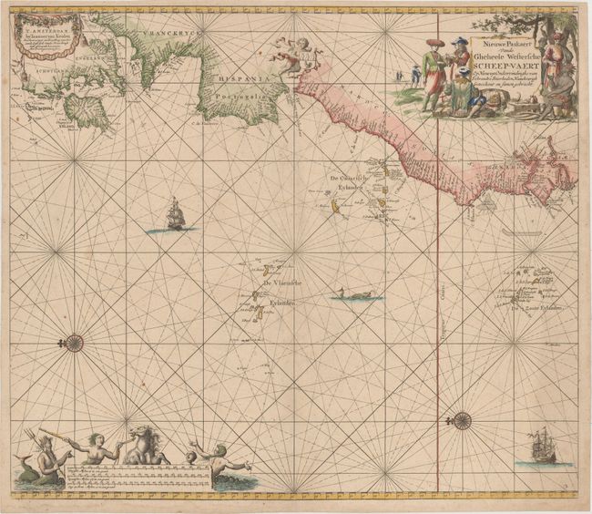
Subject: Eastern Atlantic Ocean
Period: 1654 (circa)
Publication:
Color: Hand Color
Size:
23 x 20 inches
58.4 x 50.8 cm
Download High Resolution Image
(or just click on image to launch the Zoom viewer)
(or just click on image to launch the Zoom viewer)