Catalog Archive
Auction 154, Lot 330
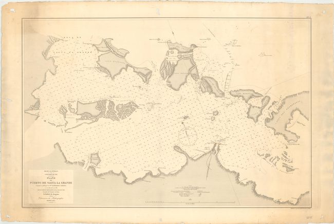
"Mar de las Antillas. Costa Norte de Cuba. Plano del Puerto de Sagua la Grande Levantado en 1858 por los Sres. de Bernardo y Morena...", Direccion de Hidrografia
Subject: Northern Cuba
Period: 1885 (dated)
Publication:
Color: Black & White
Size:
34.9 x 23.1 inches
88.6 x 58.7 cm
Download High Resolution Image
(or just click on image to launch the Zoom viewer)
(or just click on image to launch the Zoom viewer)