Catalog Archive
Auction 154, Lot 309

"Yucatan Conventus Iuridici Hispaniae Novae Pars Occidentalis, et Guatimala Conventus Iuridicus", Montanus, Arnoldus

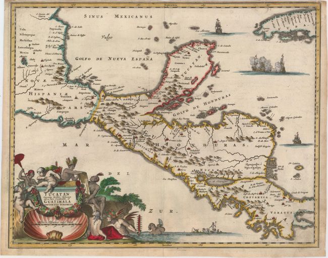
Subject: Mexico & Central America

Period: 1671 (circa)

Publication: De Nieuwe en Onbekende Weereld

Color: Hand Color

Size:
14.4 x 11.4 inches
36.6 x 29 cm
Download High Resolution Image
(or just click on image to launch the Zoom viewer)

Montanus' work was perhaps the greatest illustrated book on the New World produced in the seventeenth century. It contained over one hundred beautifully engraved plates, views, and maps of North and South America. The plates vividly depict forts, festivals, occupations, Dutch fleets, battles, religious rites, and customs of the native inhabitants. This important work was translated into German by Olivier Dapper, and into English by John Ogilby. Several of the plates were later acquired by Pierre Vander Aa.

This decorative map covers the region from Mexico City to Panama City and extends to include part of Cuba, and is based on Blaeu's map of the Yucatan peninsula. Cozumel is named, and Lake Nicaragua is presented on an east-west orientation. This map is richly adorned with ships engaged in battle, Neptune and his entourage, and an elaborate title cartouche with Natives, putti, and a large shell.

References:

Condition: B+

A crisp impression on watermarked paper with superb color, light soiling, a few minute worm holes only visible when held to light, and a chip in top left corner that has been professionally repaired. Narrow top margin as issued.

Estimate: $400 - $475

Sold for: $325

Closed on 9/16/2015

Archived