Catalog Archive
Auction 154, Lot 248
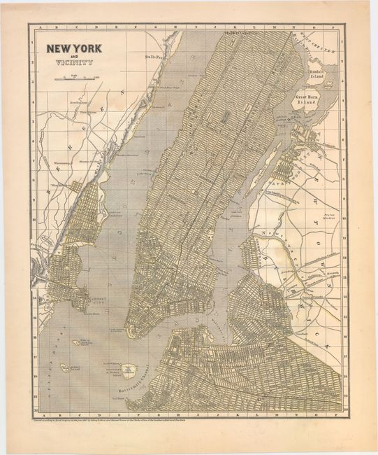
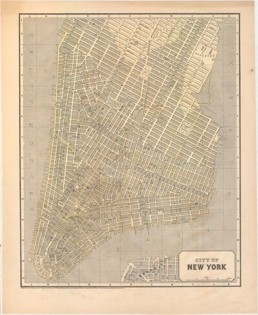
"[Lot of 2] New York and Vicinity [and] City of New York", Morse & Breese
1 of 2
Subject: New York City, New York
Period: 1842 (dated)
Publication: Morse's North American Atlas
Color: Hand Color
Size:
11.9 x 14.9 inches
30.2 x 37.8 cm
Download High Resolution Image
(or just click on image to launch the Zoom viewer)
(or just click on image to launch the Zoom viewer)