Catalog Archive
Auction 154, Lot 127

"Carte des Etats-Unis d'Amerique", Bouffard, L.

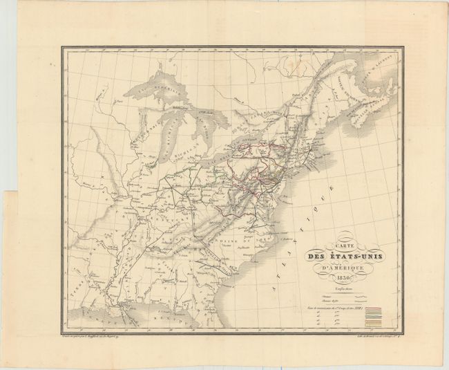
Subject: Eastern United States

Period: 1836 (dated)

Publication:

Color: Hand Color

Size:
14.9 x 12.5 inches
37.8 x 31.8 cm
Download High Resolution Image
(or just click on image to launch the Zoom viewer)

This elegantly engraved French map of the developing United States spans from northern Florida to the southern tip of Anticosti. Numerous towns, cities, and Indian tribes are named, and canals, means of communication, and railroads are shown. The National or Cumberland Road is depicted. Texas and Ouisconsin are located, as are the Arkansas and Michigan territories, both of which were on the eve of statehood at the time of publication. Lithographed by Benard.

References:

Condition: B+

A fine impression issued folding with original outline color on watermarked paper. There is a small stain north of Quebec and a binding trim in the left margin, far from image.

Estimate: $190 - $220

Unsold

Closed on 9/16/2015

Archived