Catalog Archive
Auction 154, Lot 125

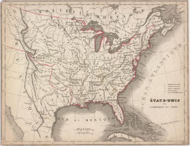
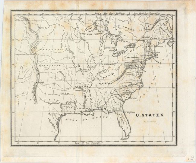
"[Lot of 2] Etats-Unis de l'Amerique du Nord",

Subject: Eastern United States

Period: 1821-39 (circa)

Publication:

Color:

Size:
See Description
Download High Resolution Image
(or just click on image to launch the Zoom viewer)

A. Etats-Unis de l'Amerique du Nord, by Charles Monin, circa 1821, hand color (10.3 x 7.4"). This small French map depicts the United States to just west of the Rocky Mountains. There is a large unnamed Missouri Territory in the middle of the country inhabited by Sioux, Osages, and other tribes. The new state of Missouri also appears with a full-sized Arkansas Territory below it that stretches into most of present-day Oklahoma. Texas is shown as a Mexican possession. Condition: Trimmed to the neatlines with minor soiling and light wear along the edges of the sheet. (B)

B. U. States, by U.S. Government, from Sen. Doc. 1, 25th Congress, 3rd Session, circa 1839 (8.4 x 6.9"). In 1838, Congress was alerted to the fact that the small size of the military forces created grave vulnerability to hostile coastal and interior threats. This small map shows proposed interior stations for troops to reinforce where they were most likely to be needed for coastal defense. Significantly, they reflected the availability of early railway systems that could be used to quickly transport the troops and their supplies to coastal locations. The map locates the Republic of Texas. Engraved by W.J. Stone. Condition: Issued folding and backed with Japanese tissue, which has partially begun to separate along the edges. There is some light foxing mostly in the top portion of the image. (B+)

References:

Condition:

See description above.

Estimate: $140 - $170

Sold for: $40

Closed on 9/16/2015

Archived