Catalog Archive
Auction 154, Lot 112

"United States", Hilliard, Gray & Co.

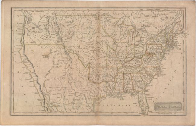
Subject: United States

Period: 1822 (circa)

Publication:

Color: Hand Color

Size:
16.9 x 10.4 inches
42.9 x 26.4 cm
Download High Resolution Image
(or just click on image to launch the Zoom viewer)

This detailed map shows the new state of Missouri with a straight western border along with a huge Missouri Territory occupying the region from the Rockies east to the Mississippi River. It provides a detailed view of the Missouri River and the headwaters of the Columbia River based on information from Lewis and Clark's expedition. The Pacific Northwest is simply labeled Western Territory as it was jointly occupied by the Americans and British at this time. The large Arkansas Territory takes in most of present-day Oklahoma, and Texas is a part of Mexico. An unnamed lake in the approximate location of the Great Salt Lake includes the notation: "The Western Limits of this Lake are unknown."

References:

Condition: B

Light toning and offsetting with one tiny hole in Missouri Territory only visible when held to light.

Estimate: $275 - $350

Sold for: $125

Closed on 9/16/2015

Archived