Catalog Archive
Auction 153, Lot 783
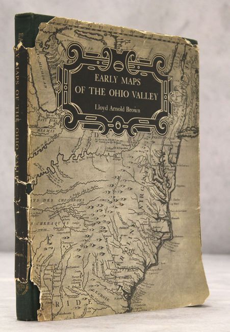
"Early Maps of the Ohio Valley - A Selection of Maps, Plans, and Views Made by Indians and Colonials from 1673 to 1783", Brown, Lloyd Arnold
Subject: References
Period: 1959 (published)
Publication:
Color: Printed Color
Size:
8.8 x 11.3 inches
22.4 x 28.7 cm
Download High Resolution Image
(or just click on image to launch the Zoom viewer)
(or just click on image to launch the Zoom viewer)