Catalog Archive
Auction 153, Lot 666

"L'Empire de la Chine, avec la Tartarie Chinoise d'Apres l'Atlas Chinois. A Paris par M. Bonne", Santini/Remondini

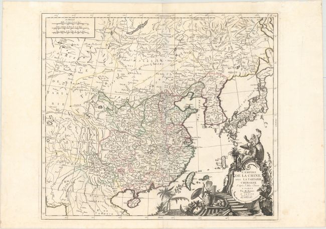
Subject: China, Korea & Japan

Period: 1779 (dated)

Publication: Atlas Universel...

Color: Hand Color

Size:
21.3 x 18.8 inches
54.1 x 47.8 cm
Download High Resolution Image
(or just click on image to launch the Zoom viewer)

This handsome map of the Chinese Empire is based on a map by Rigobert Bonne. It features Taiwan, Coree, and Haynan. The southern islands of Japan are depicted as well, including an oversized Okinawa (Lequeo). Part of Hokkaido appears under the name Jeso-Gasima. Political divisions are delineated, and many towns and cities, rivers, and topographical details are shown. The bottom right corner is filled with an elaborate title cartouche with a Chinese family, plant life, and pottery.

References:

Condition: A

A crisp impression and original outline color on a watermarked sheet with faint damp stains in top corners, minor offsetting, and a tiny rust spot near Peking.

Estimate: $475 - $600

Sold for: $350

Closed on 5/20/2015

Archived