Catalog Archive
Auction 153, Lot 658

"[Staten Eylant]", Witsen, Nicolaas

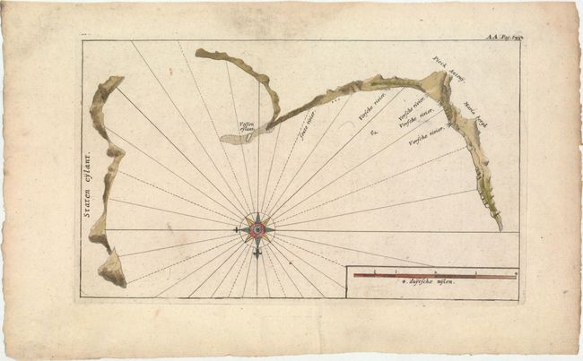
Subject: Kuril Islands

Period: 1705 (circa)

Publication: Noord en Oost Tartarye

Color: Hand Color

Size:
9.9 x 5.9 inches
25.1 x 15 cm
Download High Resolution Image
(or just click on image to launch the Zoom viewer)

Nicolaas Witsen (1641-1717) was a Dutchman who was a cartographer, authority on shipbuilding, administrator of the VOC, and served as mayor of Amsterdam multiple times. Witsen traveled to Moscow in 1664-65, keeping a diary and collecting artifacts. He became fascinated about Russia and obtained all information available at the time on the subject, including maps, travelogues, manuscripts and objects. In 1692, Witsen published the most comprehensive and authoritative work on Russia and northern Asia, Noord en Oost Tartarye. A second expanded edition was published in 1705 with additional maps, and again reprinted in 1785. All editions are very rare.

This map depicts coastal profiles of several of the Kuril Islands, which lie between Hokkaido, Japan and the Kamchatka Peninsula. The islands depicted are believed to be Kunashir and Iturup. This map is based on the explorations of Maarten Gerritsz de Vries in 1643. De Vries was the first European to explore Hokkaido and the Kuril Islands, and his diary was obtained by Witsen in preparation for his work on Northern Asia. De Vries named the island of Iturup Staten Island, claiming it for the Netherlands. A large compass rose orients north to the bottom of the chart.

References:

Condition: B+

A nice impression on watermarked paper with very light soiling.

Estimate: $110 - $140

Sold for: $160

Closed on 5/20/2015

Archived