Catalog Archive
Auction 153, Lot 573
"Parte Alpestre dello Stato di Milano, con il Lago Maggiore di Lugano, e di Como", Blaeu, Johannes
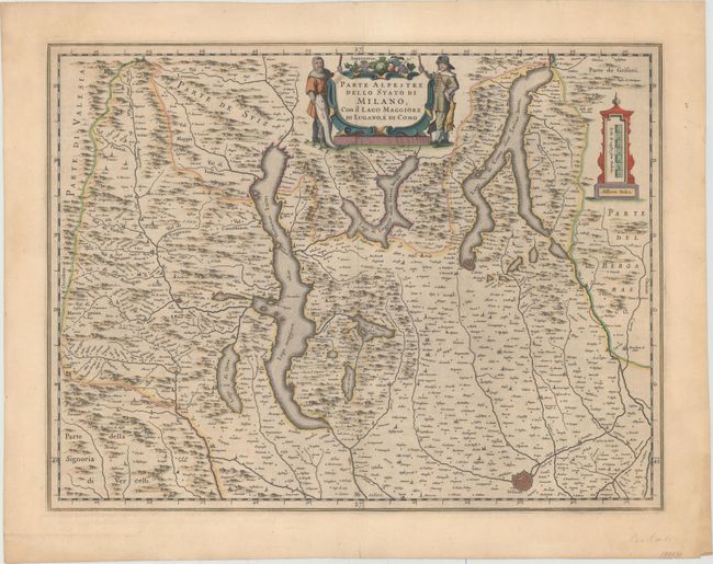
Subject: Northern Italy & Southern Switzerland
Period: 1649 (circa)
Publication:
Color: Hand Color
Size:
19.9 x 15.1 inches
50.5 x 38.4 cm
Download High Resolution Image
(or just click on image to launch the Zoom viewer)
(or just click on image to launch the Zoom viewer)