Catalog Archive
Auction 153, Lot 567

"Les Cotes de la Grece et l'Archipel", Anville, Jean Baptiste Bourguignon d'
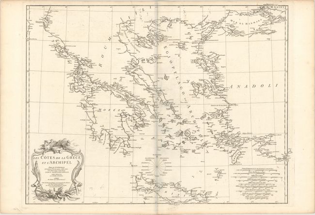
Subject: Greece

Period: 1756 (dated)

Publication:

Color: Black & White

Size:
28.1 x 21.3 inches
71.4 x 54.1 cm
Download High Resolution Image
(or just click on image to launch the Zoom viewer)

This rare map covers from Otranto on the coast of Italy to the western end of the Black Sea and from Constantinople to Cyprus. Details include towns and ports along the coast of the mainland and the islands, and along the coast of Turkey, from Cacamo to Constantinople. The map is adorned with a large wind rose identifying the 16 winds and an attractive title cartouche featuring wind heads. Engraved by Guillaume Delahaye.

References:

Condition: B+

A sturdy, watermarked sheet with light offsetting, a printer's crease at top near centerfold, and some tiny ink spots in the lower portion of the map. There is a blue shadow along the centerfold that is caused by our scanner and does not appear on the map.

Estimate: $240 - $300

Unsold

Closed on 5/20/2015

Archived