Catalog Archive
Auction 153, Lot 544

"La Russie Blanche ou Moscovie Divisee Suivant l'Etendue des Royaumes, Duches, Principautes &c.", Jaillot/Mortier
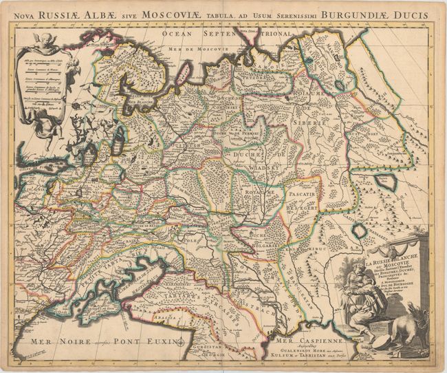
Subject: Russia

Period: 1705 (circa)

Publication:

Color: Hand Color

Size:
24.1 x 19.3 inches
61.2 x 49 cm
Download High Resolution Image
(or just click on image to launch the Zoom viewer)

Handsome map showing the extent of the Russian Empire in Europe from the Barents Sea in the north to the Black and Caspian Seas in the south. The political divisions are delineated and the forested areas are graphically shown. A long road extends from the Black Sea nearly to Moscow with a note indicating that the Morawski Slak road follows along the Tartares to reach Moscow. The map is based on the work of Sanson. Putti hold aloft a drape-style cartouche with the distance scales, and the title cartouche features a hunter, a maiden, and a chained bear. An alternate Latin title appears above the map: "Nova Russiae Albae sive Moscoviae Tabula, ad Usuam Serenissimi Burgundiae Ducis."

References:

Condition: A

A nice impression with original color, two small worm holes in bottom border, minor soiling in bottom corners, and a short professionally repaired centerfold separation at bottom.

Estimate: $350 - $425

Sold for: $300

Closed on 5/20/2015

Archived