Catalog Archive
Auction 153, Lot 491
"Carte Topographique d'Allemagne Contenant le Margraviat de l'Alsace une Partie du Duche de Lorraine, et le Principaute de Salm...", Jaeger, Johann Wilhelm Abraham
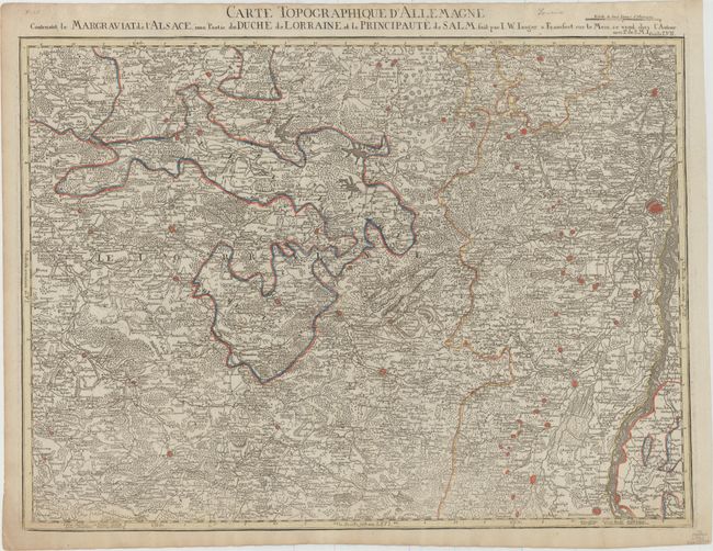
Subject: Northeastern France
Period: 1789 (published)
Publication: Grand Atlas d'Allemagne en LXXXI Feuilles
Color: Hand Color
Size:
25.3 x 18.4 inches
64.3 x 46.7 cm
Download High Resolution Image
(or just click on image to launch the Zoom viewer)
(or just click on image to launch the Zoom viewer)