Catalog Archive
Auction 153, Lot 453

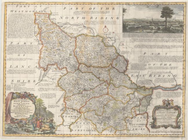
"An Accurate Map of the West Riding of York Shire, Divided into Its Wapontakes. Drawn from Surveys, with Various Additional Improvements...", Bowen, Emanuel

Subject: Northern England

Period: 1752 (circa)

Publication:

Color: Hand Color

Size:
27.9 x 20.9 inches
70.9 x 53.1 cm
Download High Resolution Image
(or just click on image to launch the Zoom viewer)

This attractive map of West Riding identifies major roads, villages, churches, and castles. The map is surrounded by geographical notes and a view of Leeds at top right. Decorated by two elaborate title cartouches and a scale of miles.

References:

Condition: B

A slightly uneven impression with light staining, some printer's ink residue, and two tears (1.5" - 2") near the center of the map that have been closed on verso with old paper. Remargined at top with a portion of the neatline in facsimile.

Estimate: $250 - $325

Sold for: $180

Closed on 5/20/2015

Archived