Catalog Archive
Auction 153, Lot 447
"Les Royaumes d'Angleterre, d'Escosse et d'Irlande avec Partie de la France et des Pays Bas", Chiquet, Jacques
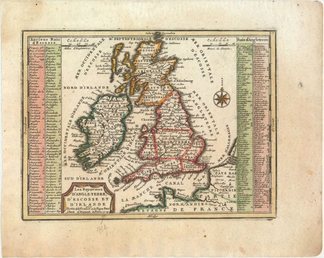
Subject: Britain
Period: 1719 (dated)
Publication: Le Nouveau et Curieux Atlas Geographique et Historique
Color: Hand Color
Size:
8.8 x 6.5 inches
22.4 x 16.5 cm
Download High Resolution Image
(or just click on image to launch the Zoom viewer)
(or just click on image to launch the Zoom viewer)