Catalog Archive
Auction 153, Lot 326

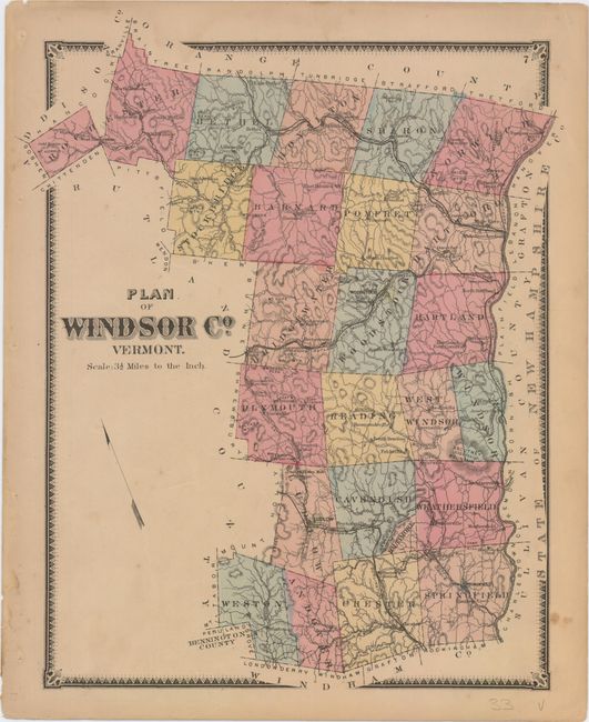
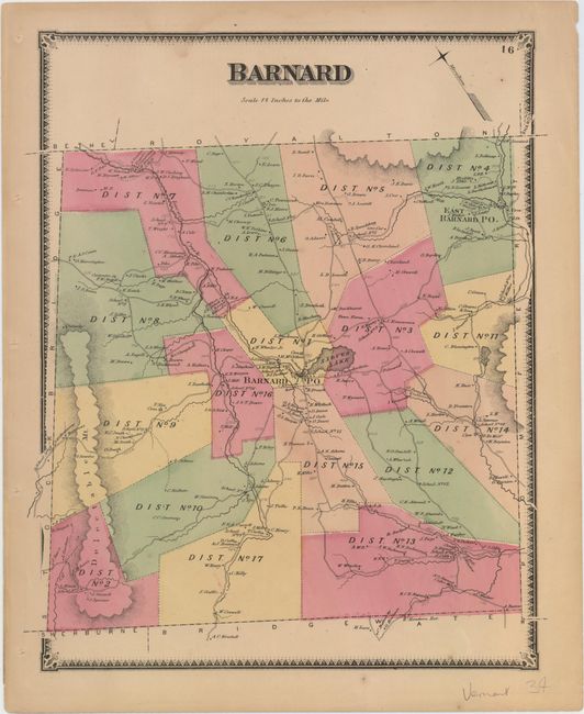
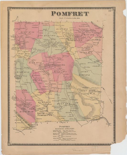
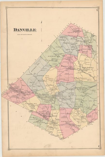
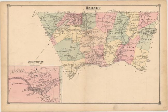
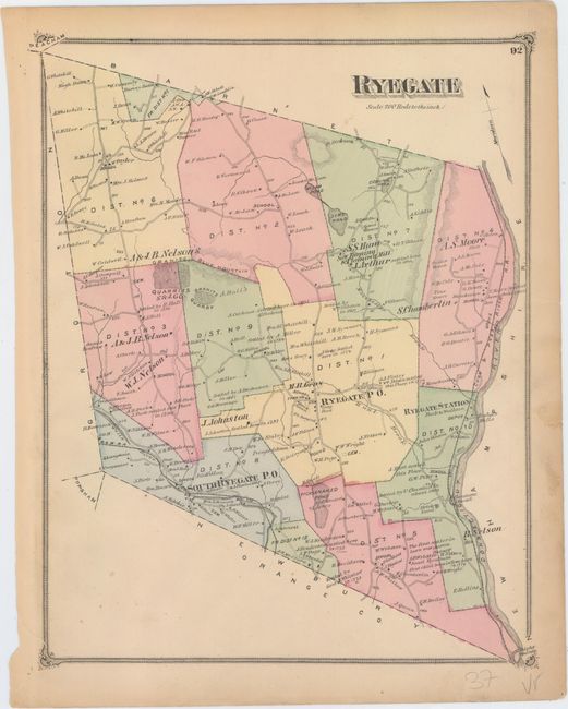
"[Lot of 37 - Counties of Vermont]", Beers, F. W.

Subject: Windsor & Caledonia Counties, Vermont

Period: 1869-75 (published)

Publication:

Color: Hand Color

Size:
See Description
Download High Resolution Image
(or just click on image to launch the Zoom viewer)

These maps of towns in Windsor and Caledonia counties come from F.W. Beers' County Atlas of Windsor Co. (published 1869) and County Atlas of Caledonia, Vermont (published 1875). The single-page sheets measure approximately 11.4 x 14.4"; the double-page sheets measure approximately 22.9 x 14.3".

A. Plan of Windsor Co. Vermont.
B. Bethel.
C. Bethel [on sheet with] Sharon Village [and] South Royalton [and] East Bethel [and] Royalton.
D. Royalton.
E. Sharon.
F. Stockbridge.
G. Barnard.
H. Pomfret.
I. Bridgewater.
J. Bridgewater [on sheet with] Bridgewater Centre [and] Bridgewater Corners [and] South Woodstock [and] Taftsville [and] West Woodstock.
K. Hartland [on sheet with] North Hartland [and] Plymouth [and] Unionville [and] Brownsville.
L. Plymouth.
M. Reading.
N. West Windsor Windsor.
O. Ludlow.
P. Cavendish.
Q. Weathersfield.
R. Weston.
S. Andover.
T. Chester.
U. Kirby.
V. Chester.
W. Springfield.
X. Stannard [on sheet with] East St. Johnsbury Town of Johnsbury [and] Fair Ground Town of St. Johnsbury.
Y. St. Johnsbury.
Z. Hardwick.
AA. Walden.
BB. Danville.
CC. Danville [on sheet with] North Danville [and] West Danville [and] South Danville Green Bank Hollow PO.
DD. Waterford.
EE. Waterford [on sheet with] Lower Waterford.
FF. Peacham.
GG. Barnet.
HH. Barnet [on sheet with] McIndoes Falls [and] West Barnet [and] Norrisville.
II. Groton.
JJ. Ryegate.
KK. Groton [on sheet with] South Ryegate [and] Ryegate.

References:

Condition: B+

Most of the maps are in very good condition, generally with a few spots in the image, faint to light soiling, and marginal toning. The double-page maps tend to have minor offsetting and centerfold separations. Several of the maps have damp stains just touching the neatline and binding holes in the blank margins. Part of the border on the map of Pomfret is missing due to a chip at bottom right, and the Barnet map has a 4" tear extending from its centerfold separation.

Estimate: $100 - $140

Sold for: $75

Closed on 5/20/2015

Archived