Catalog Archive
Auction 153, Lot 319

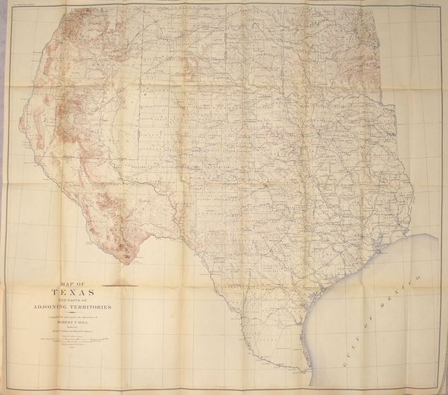
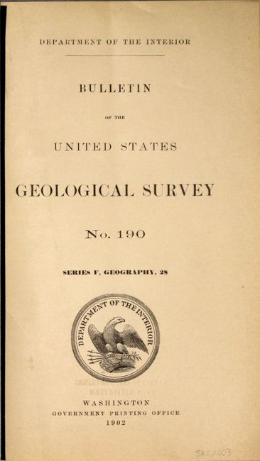
"Map of Texas and Parts of Adjoining Territories [in report] Bulletin of the United States Geological Survey No. 190", U.S. Geological Survey (USGS)

Subject: Texas

Period: 1899 (dated)

Publication:

Color: Printed Color

Size:
35.4 x 31.1 inches
89.9 x 79 cm
Download High Resolution Image
(or just click on image to launch the Zoom viewer)

A large and extremely detailed map of the state that also covers most of Oklahoma and part of New Mexico east of the Rio Grande and south of Taos. The details include counties, county seats, railroads, topography and watershed with contours at 250' intervals. This map, by Robert T. Hill, a widely known scholar, teacher and geologist, brought new sophistication to Texas cartography and helped set new scientific standards for the region's cartography.

The map is still bound into the 162-page bulletin, which includes 7 single-page plates of maps. New paper wrappers.

References:

Condition: B+

Map is mostly clean with faint toning and a 3" separation along the fold adjacent to the title that has been closed on verso with archival tape. A short binding tear at left just touches the neatline and has also been closed on verso with archival tape. Text and plates have pleasant light toning.

Estimate: $150 - $180

Sold for: $140

Closed on 5/20/2015

Archived