Catalog Archive
Auction 153, Lot 278

"Township Map of the State of Maine with Adjoining Portions of Canada & New Brunswick", Colton, G.W. & C.B.
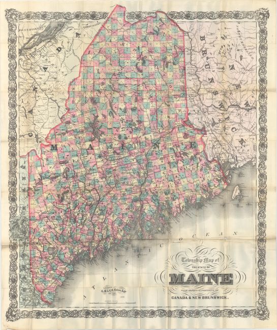
Subject: Maine

Period: 1896 (dated)

Publication:

Color: Printed Color

Size:
30.6 x 36 inches
77.7 x 91.4 cm
Download High Resolution Image
(or just click on image to launch the Zoom viewer)

This very large folding map was issued near the end of the Colton publishing firm's reign and individually colors each township in hand color, which was unusual for the time period. It depicts roads, railroads, rivers, towns and villages on a scale of 10 miles per inch. Portions of Quebec, New Brunswick and New Hampshire are also shown. Surrounded by an elegant border. Originally issued with boards which are not present.

References:

Condition: B

Issued folding with several short splits at fold intersections with two splits resulting in minor loss just above the title and in New Brunswick. Light toning along a few folds and minor extraneous creasing.

Estimate: $180 - $220

Unsold

Closed on 5/20/2015

Archived