Catalog Archive
Auction 153, Lot 25

"An Essay of a New and Compact Map, Containing the Known Parts of the Terrestrial Globe...", Bellin, Jacques Nicolas
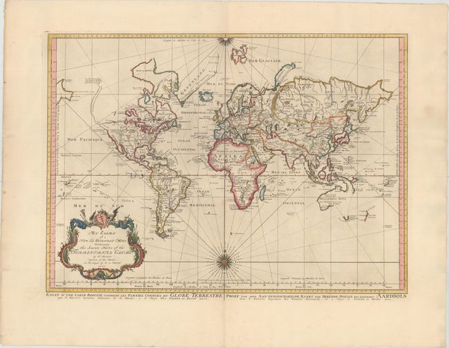
Subject: World

Period: 1750 (dated)

Publication:

Color: Hand Color

Size:
27 x 19.6 inches
68.6 x 49.8 cm
Download High Resolution Image
(or just click on image to launch the Zoom viewer)

Bellin's popular world map is presented on Mercator's projection with two fine compass roses orienting the chart. North America is shown with a very pronounced River of the West connecting through a series of rivers and lakes from Lake Superior to the Pacific - representing the elusive Northwest Passage. A portion of the Asian coastline is depicted a short distance from the supposed western coast. The Russian discoveries in the North Pacific are not yet shown, although there is a note about the voyages of 1743. Able Tasman's new discoveries in New Zealand and Australia are shown. Australia is labeled Hollandia Nova with Nova Guinea linked to the mainland by the Carpentier coastline. Terre de Diemen, also labeled I. Tasman, is connected to the mainland by conjectural dotted lines. A large, decorative title cartouche completes the composition. Published by Peter de Hondt with alternate titles in French and Dutch in lower margin.

References:

Condition: A

A fine impression and attractive color on heavy paper with very wide margins. There is light printer’s ink residue and a couple of minor spots. Issued folding with professional repairs to several short fold separations, tiny holes and minor tears adjacent to the folds, with a minute amount of image replaced in facsimile in the Mediterranean.

Estimate: $1,000 - $1,300

Sold for: $625

Closed on 5/20/2015

Archived