Catalog Archive
Auction 153, Lot 145

"United States", Arrowsmith & Lewis
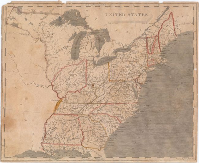
Subject: Eastern United States

Period: 1804 (circa)

Publication: A New and Elegant General Atlas

Color: Hand Color

Size:
9.9 x 8 inches
25.1 x 20.3 cm
Download High Resolution Image
(or just click on image to launch the Zoom viewer)

This small map depicts the United States confined to east of the Mississippi River, with the recently acquired Louisiana to its west. Florida is divided into East and West, and Mississippi Territory consists of present-day Alabama and Mississippi. To the west of Ohio is an unnamed Indiana Territory with Vincennes as its capital, bounded by the Illinois and Ohio rivers. Louisiana is virtually blank with the exception of the Missouri River. Drawn by Lewis and engraved by Tanner.

References:

Condition: B

Narrow margins with small chips in the top blank margin that just enter the neatline and one small hole in the right neatline. Light toning with several stains in the image.

Estimate: $180 - $220

Sold for: $130

Closed on 5/20/2015

Archived