Catalog Archive
Auction 152, Lot 105

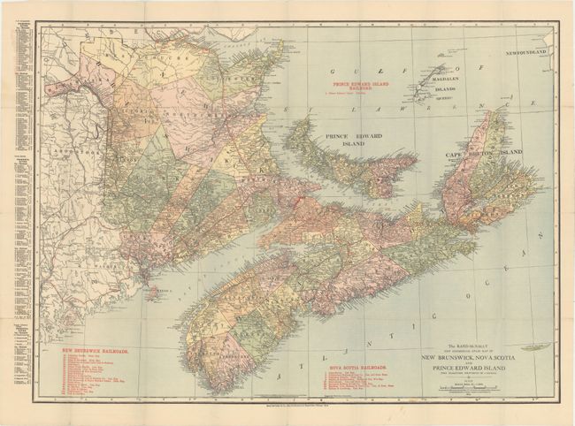
"The Rand-McNally New Commercial Atlas Map of New Brunswick, Nova Scotia and Prince Edward Island (The Maritime Provinces of Canada)", Rand McNally & Co.
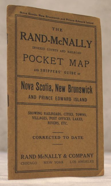
Subject: Eastern Canada

Period: 1914 (dated)

Publication:

Color: Printed Color

Size:
25.9 x 18.9 inches
65.8 x 48 cm
Download High Resolution Image
(or just click on image to launch the Zoom viewer)

This detailed map of the Maritimes is further divided into political districts. Twenty-seven different railroads are depicted and keyed to the map including the Prince Edward Island Railroad, Canadian Pacific, Grand Trunk Pacific, and the Halifax & Southwestern. Filled with details of towns and cities, roads, rivers, and coastline. Folds into brown paper wrappers (4 x 6.5") and includes a 54 pp. index.

References:

Condition: B+

A clean, colorful example with numerous short splits at fold intersections. Issued folding, the map is no longer attached to its wrappers.

Estimate: $100 - $130

Unsold

Closed on 2/18/2015

Archived