Catalog Archive
Auction 151, Lot 98

"Partie de l'Amerique Septentrionale, qui Comprend le Canada...", Bonne/Lattre

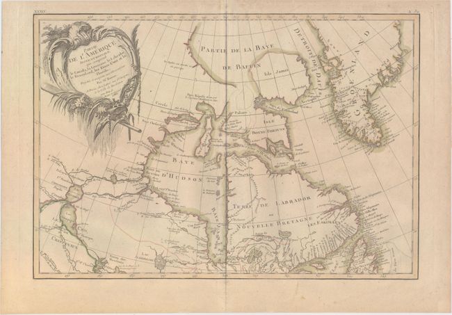
Subject: Eastern Canada, Greenland

Period: 1783 (dated)

Publication: Atlas Moderne…

Color: Hand Color

Size:
17.1 x 11.8 inches
43.4 x 30 cm
Download High Resolution Image
(or just click on image to launch the Zoom viewer)

Third state of this lovely map that covers eastern Canada and Greenland from the bottom of Hudson Bay, northward beyond the Arctic Circle to about 70° N. latitude. It includes an interesting depiction of a passage between Lake Winnipeg and Hudson Bay alluding to a possible navigable passage to the Pacific. The sheet is decorated with a large title cartouche. This is the top sheet of a two-part map; thus it does not cover the whole region indicated in the title. The map has full borders and stands on its own without the other sheet.

References: Kershaw #475; McCorkle #771.2.

Condition: B+

Original outline color with one small hole to the left of Baffin Bay.

Estimate: $200 - $230

Sold for: $60

Closed on 11/19/2014

Archived