Catalog Archive
Auction 151, Lot 757

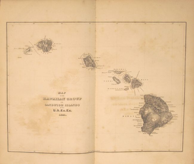
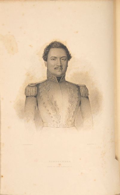
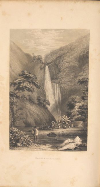
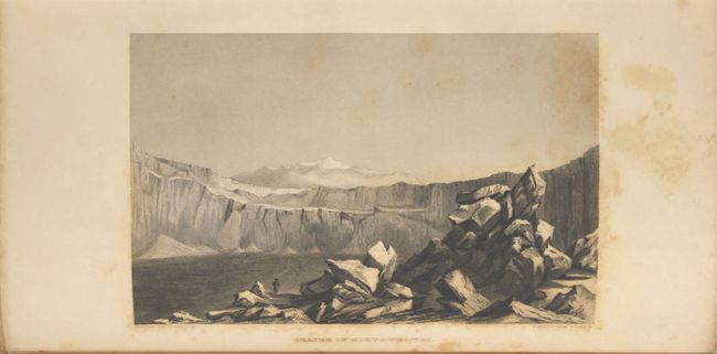
"[Volume IV] Narrative of the United States Exploring Expedition. During the Years 1838, 1839, 1840, 1841, 1842", Wilkes, Charles

Subject: Exploration and Surveys - Hawaii

Period: 1845 (published)

Publication:

Color: Black & White

Size:
7.5 x 11.5 inches
19.1 x 29.2 cm
Download High Resolution Image
(or just click on image to launch the Zoom viewer)

This was one of the most important American scientific expeditions of the 19th century. It was the first U.S. Naval expedition, taking in the Northwest Coast, Hawaii, South America, the Philippines, the South Pacific, Australia and Antarctica. The expedition broke new ground in most areas of natural history, made a number of extremely important cartographic discoveries, and most importantly established that Antarctica was a continent. They mapped 280 islands in the Pacific for the first time and included extensive and graphically rich ethnographic records of many native peoples throughout the Pacific.

This volume's first 260 pages covers the Hawaiian Islands in great detail with numerous plates (14 of 15) and illustrations interspersed within the text. Of primary interest is the" Map of the Hawaiian Group or Sandwich Islands" (11.2 x 8.3") which serves as the frontispiece for the book. This map is a marked improvement over previous maps of Hawaii. The coast lines of Maui and Oahu are more accurate (despite a few flaws) and Wilkes managed to convey a vivid image of the mountainous terrain. The remainder of the book covers the Expedition's travels in Oregon and Washington. Octavo, 539 pp. hardbound in original embossed brown cloth covers with gilt embossing on cover and spine.

References:

Condition: B

The map is good with offsetting, text is mostly clean with light toning, and the plates have scattered foxing mostly in blank areas. The original covers have typical wear and the spine has been professionally replaced utilizing a portion of the original.

Estimate: $275 - $350

Sold for: $800

Closed on 11/19/2014

Archived