Catalog Archive
Auction 151, Lot 744

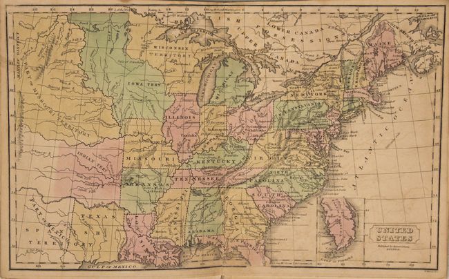
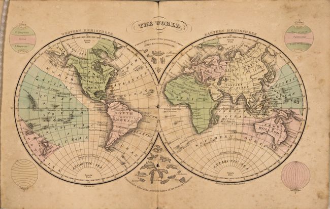
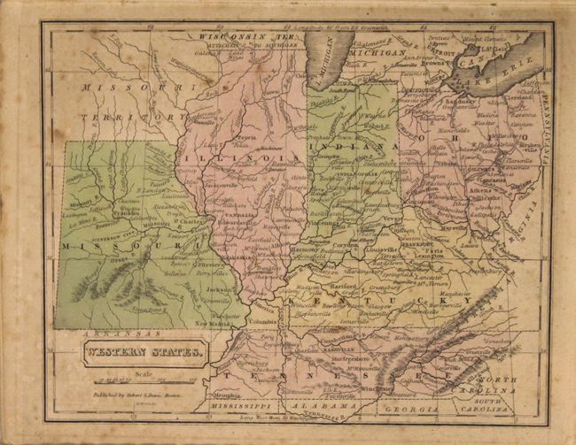
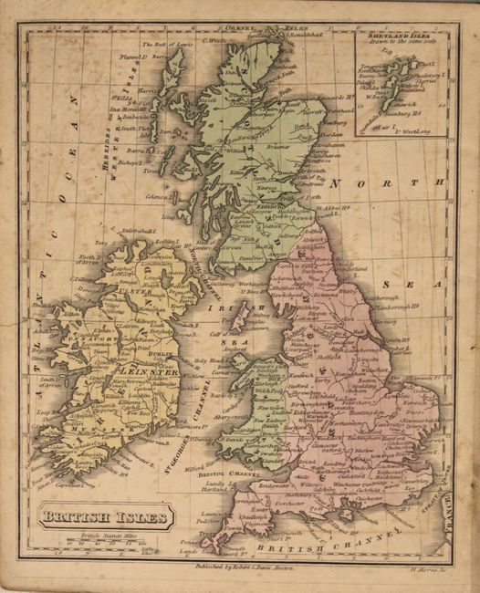
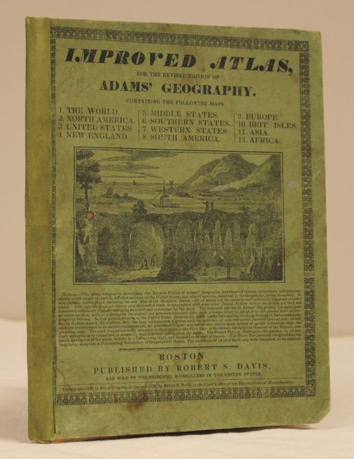
"Improved Atlas, for the Revised Edition of Adams' Geography",

Subject: Atlases

Period: 1838 (published)

Publication:

Color: Hand Color

Size:
6.8 x 8.6 inches
17.3 x 21.8 cm
Download High Resolution Image
(or just click on image to launch the Zoom viewer)

This uncommon school atlas contains two double-page and ten single-page maps. Each is well detailed and shows topography, rivers and settlements. The double-page map of the United States features an independent Republic of Texas in an unusual rectangular representation. To the north of Texas are the large Indian, Missouri, Iowa and Wisconsin territories. Seven of the maps relate to the United States along with maps of South America, Europe, Asia, Africa, and the British Isles. Engraved by H. Morse.

References:

Condition: B

The maps are good to very good with light scattered foxing and faint offsetting. The map of the British Isles has a 1.5" edge tear at left that has been closed on verso with archival tape. Covers are lightly soiled and the spine has been reinforced.

Estimate: $250 - $325

Sold for: $150

Closed on 11/19/2014

Archived