Catalog Archive
Auction 151, Lot 742

NO RESERVE

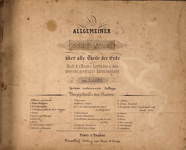
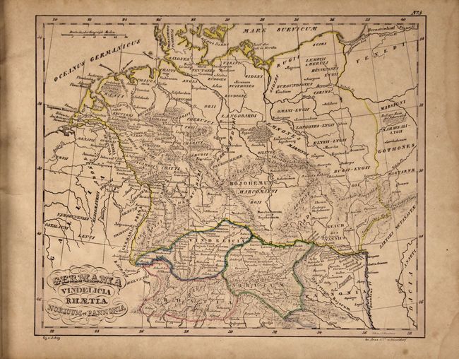
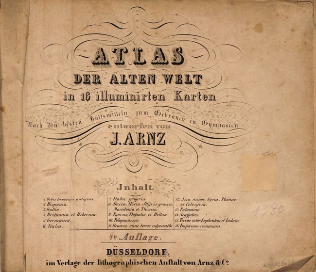
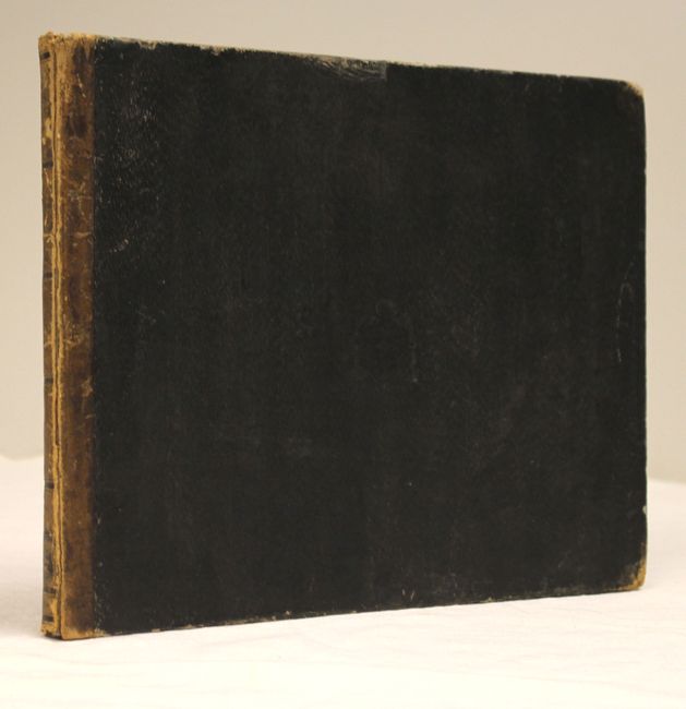
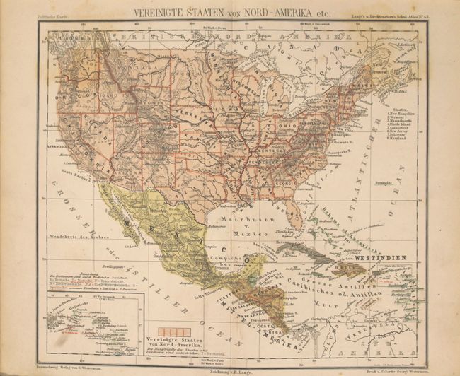
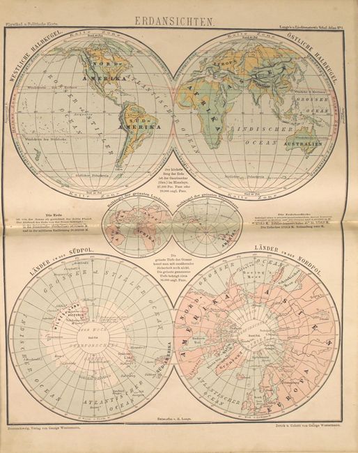
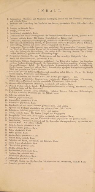
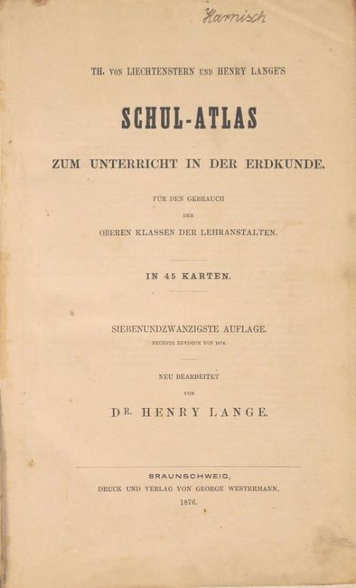
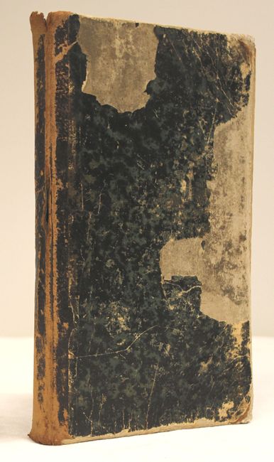
"[Lot of 2] Atlas der Alten Welt [bound with] Allgemeiner Schul-Atlas uber all Theile der Erde [and] Th. von Liechtenstern und Henry Lange's Schul-Atlas zum Unterricht in der Erdkunde…",

Subject: Atlases

Period: 1830-76 (circa)

Publication:

Color:

Size:
See Description
Download High Resolution Image
(or just click on image to launch the Zoom viewer)

A. Atlas der Alten Welt in 16 Illuminirten Karten Nach den Besten Hulfsmitteln zum Gebrauch in Gymnasien… [and] Allgemeiner Schul-Atlas uber all Theile der Erde, by J. Arnz, circa 1830, hand color (13.3 x 10.3"). This is actually two German school atlases bound into one book, each with its own title page with a list of maps. Included are 16 ancient maps and 27 modern maps of the world. The modern maps include the world, hemispheres, 21 maps relating to Europe, Asia, Africa, North America, South America, and Australia and the south Pacific. The map of the world features a color-coded guide to indicate the various races represented. Also included are oro-hydrographic maps of Europe and Germany. The map of North America shows good topographical detail and depicts the southwest under Spanish control and the northwestern border of the United States extending well into present-day Canada. Complete, Oblong Quarto, quarter leather with embossed paper-covered boards. Condition: The maps are all in original outline color with light toning and soiling, a few spots of foxing, and some damp stains primarily confined to the blank margins. The title page to the ancient world atlas has a large hole that has been replaced with old paper. The front hinge is starting, the spine is cracked, and the spine and covers are moderately worn.

B. Th. von Liechtenstern und Henry Lange's Schul-Atlas zum Unterricht in der Erdkunde..., by Dr. Henry Lange, published 1876, printed color (6.9 x 11.1"). This complete German school atlas is intended for high school children (or "upper classmen") and contains 45 maps, listed on the verso of the title page. Included are two world maps (one of which shows ocean currents), 29 related to Europe, 7 related to Asia, 1 of Africa, 5 related to the Americas, and 1 of Oceania. Many geographies are duplicated, with separate maps for the physical and political properties of the region. The map of the United States extends to include Mexico, Central America and the Caribbean, and identifies the states and territories, including a large Dacota Territory. Complete, Quarto, quarter leather with marbled paper-covered boards. Condition: The maps range in condition from good to near fine, with light soiling, scattered foxing, and centerfold separations on a few maps. The covers are almost completely detached, the spine is cracked, and the spine and covers are heavily worn and chipped.

References:

Condition: B

See description above.

Estimate: $150 - $200

Unsold

Closed on 11/19/2014

Archived