Catalog Archive
Auction 151, Lot 740

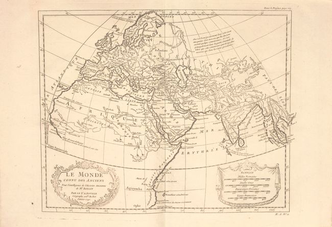
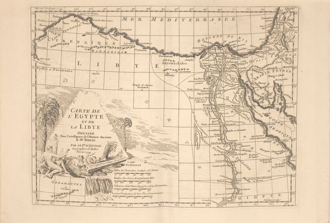
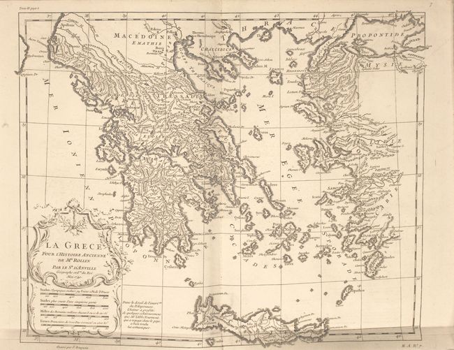
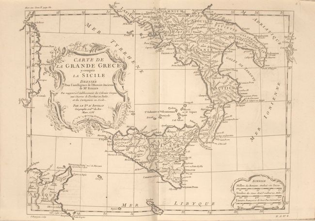
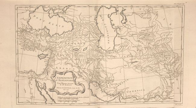
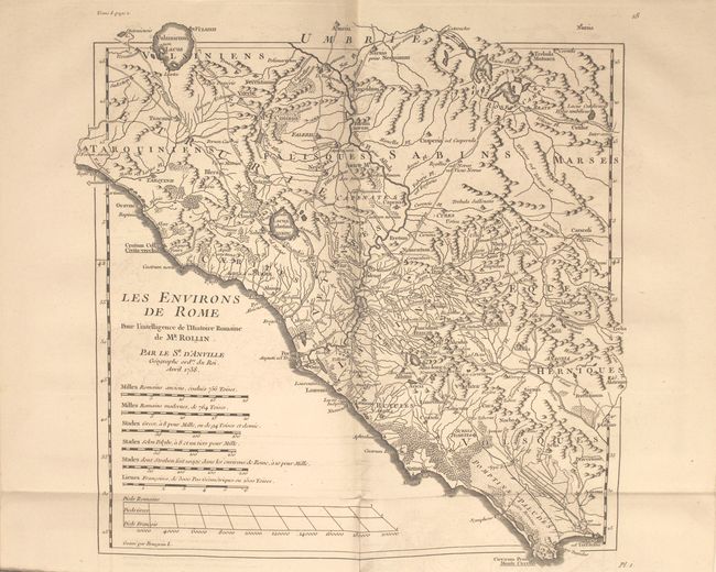
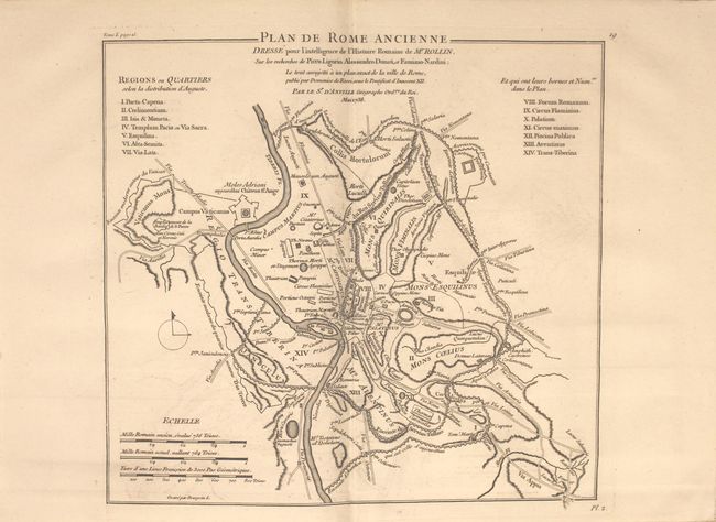
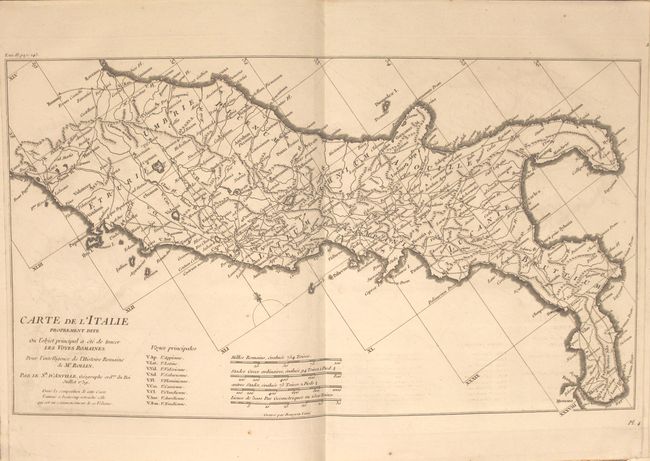
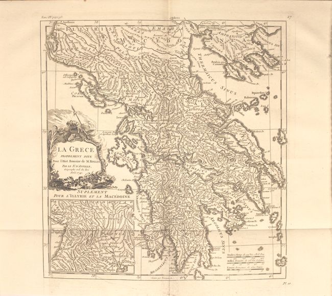
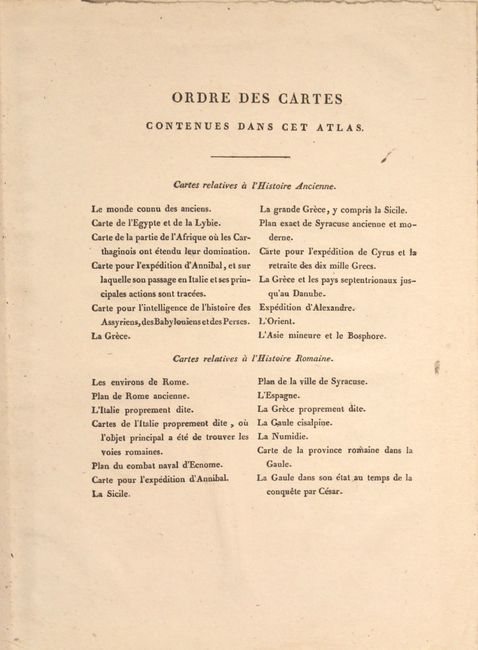
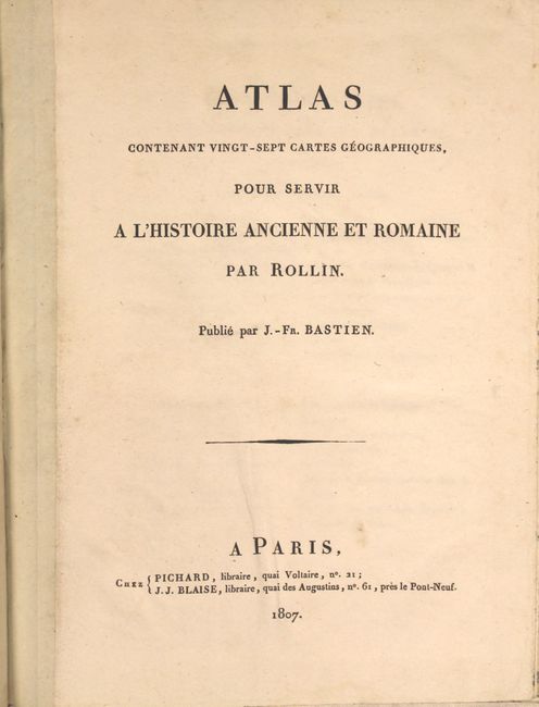
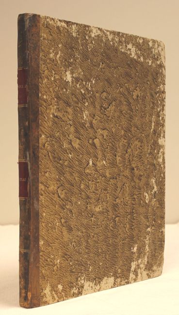
"Atlas Contenant Vingt-Sept Cartes Geographiques, pour Servir a l'Histoire Ancienne et Romaine", Rollin/Bastien

Subject: Atlases

Period: 1807 (published)

Publication:

Color: Black & White

Size:
9.4 x 12.3 inches
23.9 x 31.2 cm
Download High Resolution Image
(or just click on image to launch the Zoom viewer)

This complete historical atlas contains 27 maps (10 folding), consisting of 13 maps of the ancient world and 14 maps of the Roman Empire. The maps depict the ancient world, Greece, Italy, France, Spain, northern Africa, Arabia and the Middle East. Included are two attractive plans of Syracuse, a plan of Ancient Rome, and maps showing the marches of Alexander the Great and Hannibal. Several of the maps have decorative title cartouches and were produced by d'Anville dated between 1738-1741. Original quarter-leather binding with marbled-paper covered boards.

References:

Condition: B+

The maps are clean and bright with faint to light offsetting. Covers are moderately worn with bumped edges.

Estimate: $700 - $850

Sold for: $450

Closed on 11/19/2014

Archived