Catalog Archive
Auction 151, Lot 738

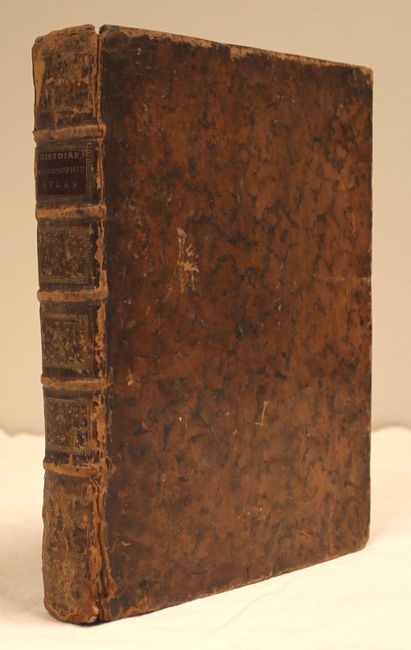
Very Attractive Example of this Atlas with Original Leather Binding

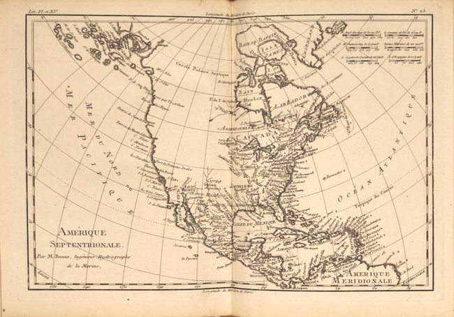
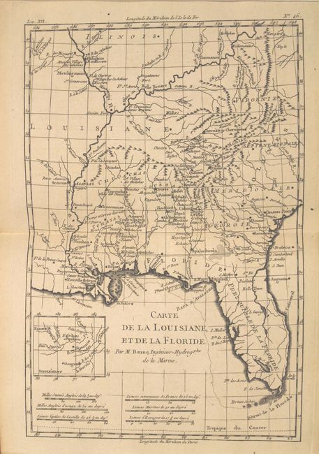
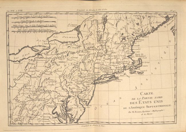
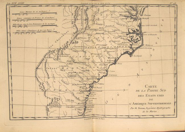
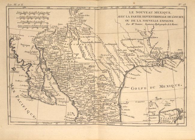
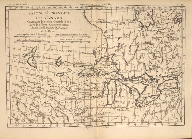
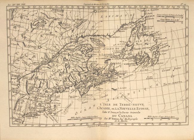
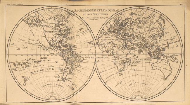
"Atlas de Toutes les Parties Connues du Globe Terrestre, Dresse pour l'Histoire Philosophique et Politique des Etablissemens et du Commerce des Europeens dans les Deux Indes", Bonne/Raynal

Subject: Atlases

Period: 1780 (published)

Publication:

Color: Black & White

Size:
8.2 x 10 inches
20.8 x 25.4 cm
Download High Resolution Image
(or just click on image to launch the Zoom viewer)

This is the atlas volume for Abbe Raynal's "L'Histoire Philosophique et Politique des Etablissemens et du Commerce des Europeens dans les Deux Indes." The atlas is complete and is filled with Bonne's well-drawn maps and charts engraved by Andre. Included are a title page, list of maps, Analyse Succincet de Cet Atlas (22 pages), and 50 maps. The map contents include two world maps, North America, South America, Europe, Asia, and Africa. There are also regional maps, including nine related to Europe, eight related to Africa, eight related to Asia, six related to South America, and fifteen related to North America. The notable North American regional maps are: Le Nouveau Mexique; L'Isle de Terre-Neuve, l'Acadie; Partie Occidentale du Canada; Carte de la Louisiane, et de la Floride; Carte de la Partie Nord des Etats Unis; and Carte de la Partie Sud des Etats Unis.

In the map of North America, the entire western part of the continent is left mostly blank. Indian tribes, such as the Apaches, Sioux, Outagamis, and Assenipouels, occupy the edges of defined territory. The British Colonies and a few major cities are named along the eastern seaboard and in the Great Lakes region. Alaska is shown as a group of islands, the largest of which is labeled Alaschka.

Full original leather with gilt tooling and title on spine, and original ribbon page marker. The atlas volume did not carry any publication information on the title pages, but was known to be published in 1780.

References:

Condition: B+

The maps are all very good to fine with nice, dark impressions, occasional tiny spots of foxing, and minor toning along sheet edges. A few maps have faint offsetting - much less than is commonly seen in this atlas. There is a faint damp stain at far right on the last 10 maps, well away from the map image. The hinges are starting, the covers show light wear, and the spine is partially cracked and well worn.

Estimate: $2,200 - $3,000

Unsold

Closed on 11/19/2014

Archived