Catalog Archive
Auction 151, Lot 702

"Chart of the N.W. Coast of America and N.E. Coast of Asia, Explored by Capt. Cook, in the Years 1778 & 1779...", Harrison, John

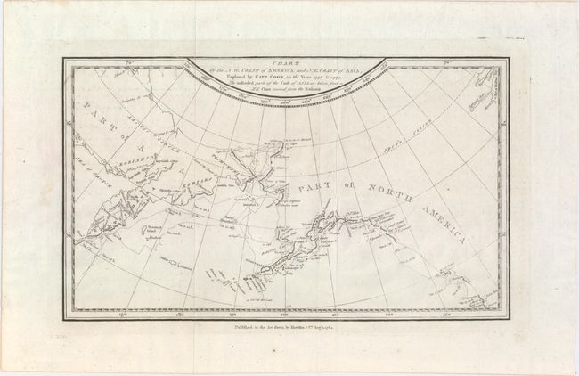
Subject: North Pacific Ocean

Period: 1784 (dated)

Publication: The Geographical Magazine…

Color: Black & White

Size:
12.5 x 7.4 inches
31.8 x 18.8 cm
Download High Resolution Image
(or just click on image to launch the Zoom viewer)

This map shows the coastline of northwestern North America and northeastern Asia, with particular emphasis on Bristol Bay north to the Bering Strait. The detail is focused on Cook's third and final expedition (1776-79), when he traveled up the northern reach of the Pacific in search of a Northwest Passage. His routes are traced and dated. Cook probed up along the Oregon coast in bad weather to Nootka Sound, where he rested and refitted his ships. They sailed forth to the Alaskan and Chukotskiy peninsulas and from there into the Bering Strait. Cook got as far north as 70° by 41° N before being forced back by the ice off Icy Cape. The expedition came south down the Russian coast and then east to Norton Sound. Cook's expedition then sailed south to Hawaii, where Cook was killed in a dispute with the natives. His second-in-command Clerke took over the expedition and they explored further in Hawaii before returning north to continue the exploration for the Northwest Passage

References: Kershaw #1145; McCorkle (18th C. Geography Books) #268-22; Shirley (BL Atlases) G.MRT-1a #31.

Condition: A

Issued folding on watermarked paper with faint offsetting from an opposing page.

Estimate: $240 - $300

Sold for: $180

Closed on 11/19/2014

Archived