Catalog Archive
Auction 151, Lot 620

"Lant Kaarte, van 't Oost Tartarie",

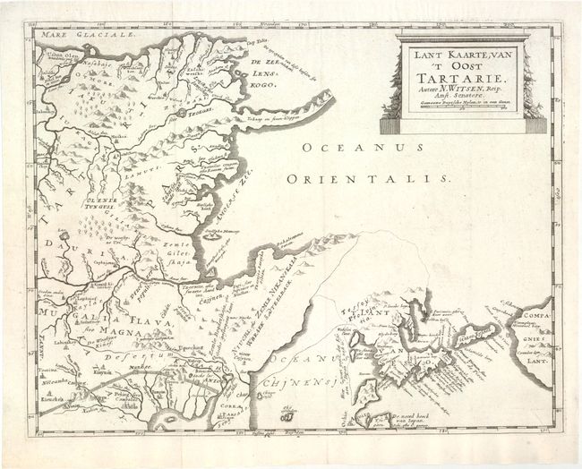
Subject: Northern Asia

Period: 1685 (circa)

Publication: Noord en Oost Tartarye

Color: Black & White

Size:
14.5 x 11.1 inches
36.8 x 28.2 cm
Download High Resolution Image
(or just click on image to launch the Zoom viewer)

This fascinating map of northeastern Asia by Nicolaas Witsen shows numerous geographical misconceptions. Although Korea is correctly shown as a peninsula, there are conjectural dotted lines connecting it to Eso (Hokkaido). Further to the east is Compagnies Lant, which was supposedly discovered by Jean de Gama. A long, slender peninsula protrudes east from northeastern Siberia -- presumably the Kamchatka Peninsula -- with a notation that it consists of "ice and stone cliffs." The Amur River is shown flowing west, rather than south-southwest, with its mouth in the Sea of Okhotsk (Oceanus Orientalis), rather than in the narrow Strait of Tartary, which divides the Russian mainland from the island of Sakahlin. In China, the Great Wall is prominently depicted and several cities are named. In this map, Peking is correctly shown at 40 degrees latitude, which had been measured by the Jesuits. (However in Witsen's similar map of the region, Peking is incorrectly depicted at 44 degrees latitude. See lot 621.)

Nicholaas Witsen (1641-1717) was a Dutch statesman, administrator of the VOC, and cartographer. After studying Russia for over 20 years, Witsen became the first to publish a comprehensive work on Siberia and the Far East, Noord en Oost Tartarye, first published in 1685. There were several editions, often containing updated maps. This map appeared in the first edition as well as at least one 18th century edition.

References:

Condition: A

A nice impression on watermarked paper. Issued folding with one short fold separation in bottom blank margin that has been archivally repaired.

Estimate: $475 - $600

Sold for: $350

Closed on 11/19/2014

Archived