Catalog Archive
Auction 151, Lot 552

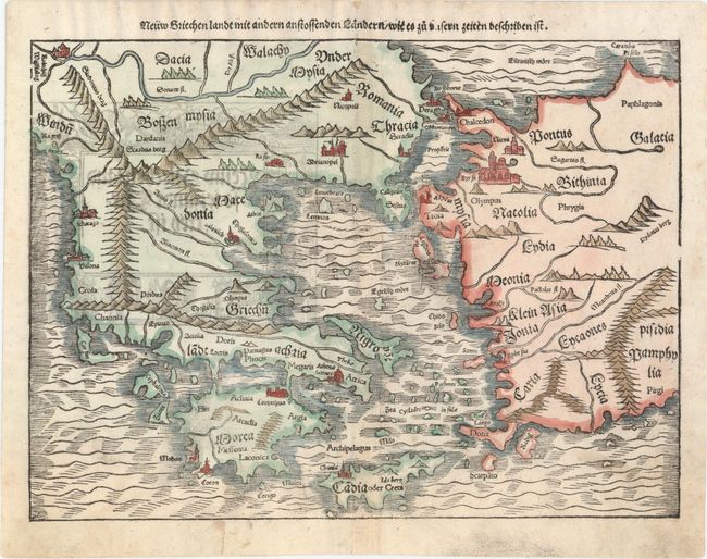
"Neuw Griechenlandt mit Andern Anstossenden Landern/ wie es zu Unsern Zeiten Beschriben ist", Munster, Sebastian
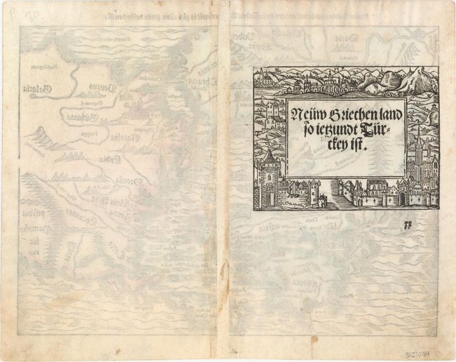
Subject: Greece

Period: 1572 (circa)

Publication: Cosmographey oder Beschreibung Aller Lander…

Color: Hand Color

Size:
13.7 x 10.1 inches
34.8 x 25.7 cm
Download High Resolution Image
(or just click on image to launch the Zoom viewer)

An early double-page woodblock map of Greece, the Aegean Sea and western Turkey, focused on the Dardanelles (Hellespont), which separates Europe from Asia. It locates Athens, Constantinople, Arcadia, Crete, Rhodes, Bursa (Byrsa), and more, extending to show part of the Black Sea. Troy (Troia) is on the coast near Lesbos Island. Major rivers are named and mountains are shown in typical Ptolemaic fashion. On verso is an elaborate woodblock engraving with German text.

References: Zacharakis #1579; cf. Mickwitz & Miekkavaara #157-11.

Condition: B+

A nice impression with a hint of toning along centerfold and a professionally repaired tear that extends 1" into image at bottom.

Estimate: $300 - $375

Sold for: $150

Closed on 11/19/2014

Archived