Catalog Archive
Auction 151, Lot 518
NO RESERVE
"Carte de l'Allemagne par Cercles en 1789", Malte-Brun, Conrad
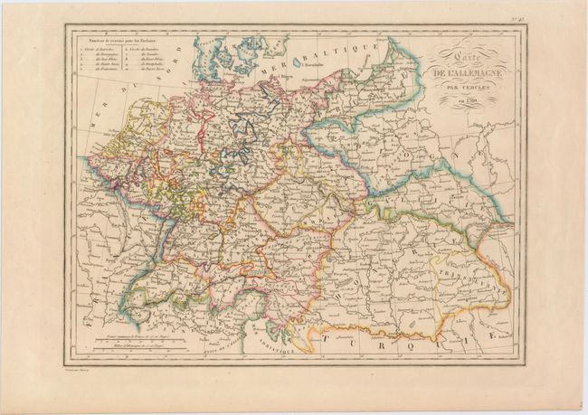
Subject: Central Europe
Period: 1837 (circa)
Publication:
Color: Hand Color
Size:
12 x 8.9 inches
30.5 x 22.6 cm
Download High Resolution Image
(or just click on image to launch the Zoom viewer)
(or just click on image to launch the Zoom viewer)