Catalog Archive
Auction 151, Lot 481

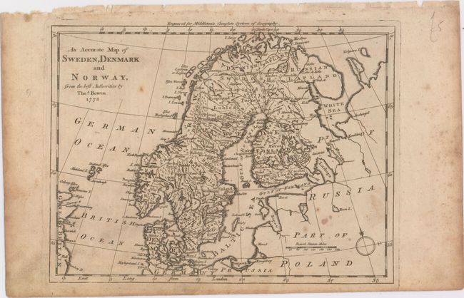
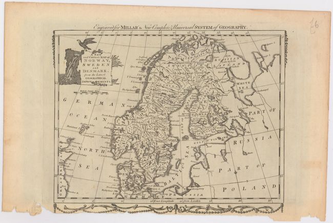
"[Lot of 2] An Accurate Map of Sweden, Denmark and Norway, from the Best Authorites [and] A New and Correct Map of Norway, Sweden, and Denmark. From the Latest Geographical Improvements",

Subject: Scandinavia

Period: 1778-82 (circa)

Publication:

Color: Black & White

Size:
See Description
Download High Resolution Image
(or just click on image to launch the Zoom viewer)

A nice pair of eighteenth century maps of Scandinavia, each filled with details of towns, political boundaries, rivers, and topography.

A. An Accurate Map of Sweden, Denmark and Norway, from the Best Authorites, by Thomas Bowen, from Middleton's Complete System of Geography
B. A New and Correct Map of Norway, Sweden, and Denmark. From the Latest Geographical Improvements, by George Henry Millar, from Millar's New Complete & Universal System of Geography, circa 1782 (10.6 x 8.4"). Reference: McCorkle (18th C. Geography Books) #281-12 (State 1). Condition: A crisp impression with chips and tears at the bottom edge from where the sheet was taken from its binding, with some of the decorative border missing. (B+)

References:

Condition:

See description above.

Estimate: $110 - $140

Sold for: $80

Closed on 11/19/2014

Archived