Catalog Archive
Auction 151, Lot 477

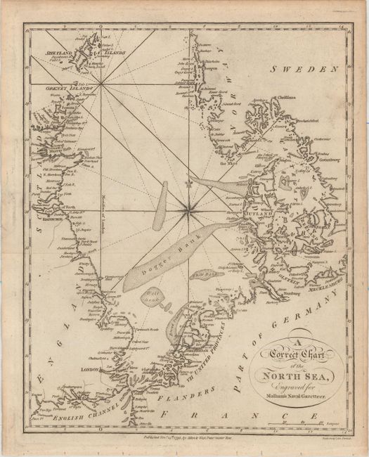
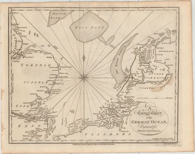
"[Lot of 2] A Correct Chart of the North Sea, Engraved for Malham's Naval Gazetteer [and] A Correct Chart of the German Ocean, Engraved for Malham's Naval Gazetteer", Malham, John (Rev.)

Subject: Northern Europe, North Sea

Period: 1795 (dated)

Publication: Malham's Naval Gazetteer

Color: Black & White

Size:
See Description
Download High Resolution Image
(or just click on image to launch the Zoom viewer)

These two map of the North Sea were engraved by Neele for Rev. John Malham (1747-1821), a writer and teacher of navigation, for Malham's The Naval Gazetteer; or, Seaman's Complete Guide.

A. A Correct Chart of the North Sea, Engraved for Malham's Naval Gazetteer, (7.6 x 9.4"). This attractive chart shows the North Sea from Norway and the Shetland Islands down to the English Channel, and extends east to include the Kattegat. Principal towns and harbors are noted along the coasts, and banks, reefs, and rocks are marked in the sea. Condition: Issued folding with faint offsetting, light soiling, and minor toning along the sheet's edges.

B. A Correct Chart of the German Ocean, Engraved for Malham's Naval Gazetteer, (9.4 x 7.5"). This chart shows the southern portion of the North Sea, from the Strait of Dover to Lincolnshire, England and the northern reaches of the Netherlands. Principal harbors are shown along the coasts, and banks are clearly noted. A compass rose and fleur-de-lis at the center of the map complete the composition. Condition: Issued folding with a light stain at right, minor offsetting, and a bit of toning along the sheet's edges.

References: McCorkle (18th C. Geography Books) #251, Vol. II-4 & 6.

Condition: B+

See description above.

Estimate: $120 - $150

Unsold

Closed on 11/19/2014

Archived