Catalog Archive
Auction 151, Lot 466

NO RESERVE

"England and Wales", Walker, John

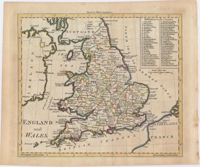
Subject: England & Wales

Period: 1797 (circa)

Publication: An Atlas to Walker's Geography...

Color: Hand Color

Size:
8.5 x 7.4 inches
21.6 x 18.8 cm
Download High Resolution Image
(or just click on image to launch the Zoom viewer)

This elegantly engraved map of England and Wales also extends to show portions of Scotland, Ireland, the Netherlands, and France. England and Wales are divided into 52 counties, which are named in a key in the top right corner, with numerous towns and cities identified within each one.

References:

Condition: B+

Issued folding on watermarked paper with a couple of faint spots within the image and light toning mostly confined to the blank margins.

Estimate: $90 - $120

Sold for: $33

Closed on 11/19/2014

Archived