Catalog Archive
Auction 151, Lot 385

"Curacao", Thomson, John
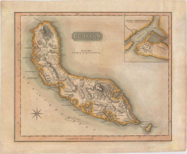
Subject: Curacao

Period: 1814 (circa)

Publication: New General Atlas

Color: Hand Color

Size:
11.8 x 9.8 inches
30 x 24.9 cm
Download High Resolution Image
(or just click on image to launch the Zoom viewer)

This map of Curacao is filled with detail, including plantations, roads, rivers, and topography shown in hachure. Salt ponds and salt pans are also shown. The map includes an inset with a bird's-eye plan of Fort Amsterdam. This map is part of a sheet containing four maps, each enclosed in its own borders. Engraved by Neele.

References:

Condition: B

Original color with light toning and soiling. Remargined at top and right to accommodate framing.

Estimate: $110 - $140

Sold for: $190

Closed on 11/19/2014

Archived