Catalog Archive
Auction 151, Lot 382

"Map of the Island of Tobago for the History of the West Indies", Edwards, Bryan
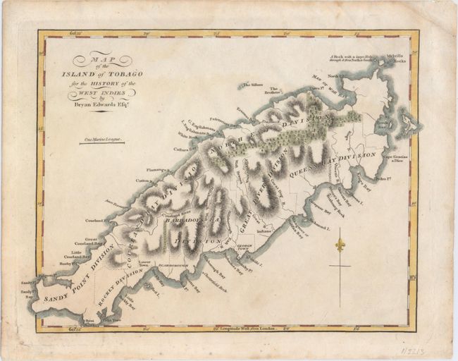
Subject: Tobago

Period: 1815 (circa)

Publication:

Color: Hand Color

Size:
9.6 x 7.1 inches
24.4 x 18 cm
Download High Resolution Image
(or just click on image to launch the Zoom viewer)

A nice chart of the island showing its political divisions and considerable coastal detail. Topography is well developed. A note off the northeast coast of the island locates "A Rock with a large Hole through it from North to South."

References: cf. Tooley (MCC-10) #48.

Condition: A

On a sheet with an "1815" watermark with faint damp stains in the bottom blank margin and remnants of hinge tape on verso.

Estimate: $70 - $90

Sold for: $45

Closed on 11/19/2014

Archived