Catalog Archive
Auction 151, Lot 320

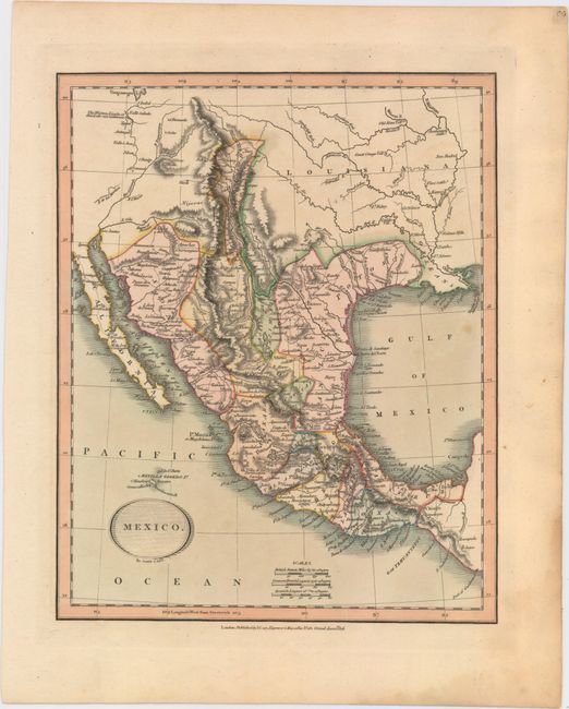
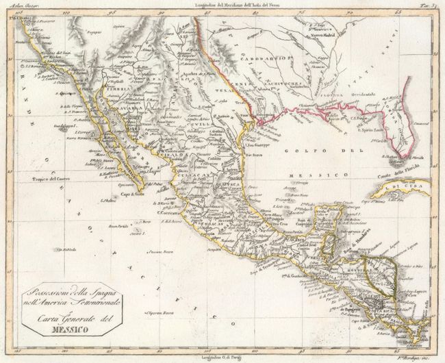
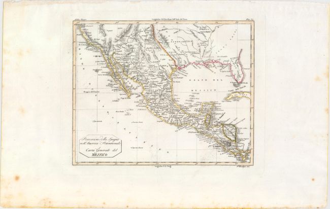
"[Lot of 2] Mexico [and] Possessioni della Spagna nell' America Settentrionale o Carta Generale del Messico",

Subject: Southern United States & Mexico

Period: 1816-20 (circa)

Publication:

Color: Hand Color

Size:
See Description
Download High Resolution Image
(or just click on image to launch the Zoom viewer)

This lot includes two uncommon maps of Mexico and the American Southwest. The first, by John Cary, shows Texas appearing within the province of "San Luis Potosi." In the Valle Salado (present-day Utah) is a lake with the notation "Western Limits of this lake are unknown." Many Indian tribes and villages are named, with roads, topography and watershed also shown. The second map is an Italian map from Nuovo Atlante di Geografia universale in 52 Carte.... engraved by F. Bordiga and published in Milan by Luigi Rossi and Vincenzo Batelli. The cartography is broader than the first, covering an area from the Southeast west to San Francisco. Very early place names are identified in the Southwest and Florida is divided into East and West.

A. Mexico, by John Cary, dated 1816 (9.2 x 11.4"). Condition: Original color with wide margins on thick paper. There is one small spot in the image and some light dampstaining confined to the lower right blank margin.

B. Possessioni della Spagna nell' America Settentrionale o Carta Generale del Messico, by Luigi Rossi & Vincenzo Batelli, circa 1820 (9.8 x 7.8"). Condition: A clean, bright example with wide margins, light printer's ink residue, and just a few spots of foxing confined to the far blank margins.

References:

Condition: A

See description above.

Estimate: $250 - $325

Sold for: $150

Closed on 11/19/2014

Archived