Catalog Archive
Auction 151, Lot 306

"Wisconsin", Tanner, Henry Schenck
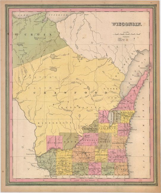
Subject: Wisconsin

Period: 1844 (circa)

Publication: New Universal Atlas

Color: Hand Color

Size:
13.3 x 15.8 inches
33.8 x 40.1 cm
Download High Resolution Image
(or just click on image to launch the Zoom viewer)

This map of Wisconsin Territory shows county development as it stood in 1842 with the recent formation of Richland County in the southwest from the large Crawford County, which was organized in 1818. The border with Michigan is here shown along the Montreal River to Lake Superior. Carver's Claim and numerous Indian lands are located. Samuel Augustus Mitchell would take ownership of Tanner’s plates approximately two years later and publish it in the Universal Atlas.

References:

Condition: B+

Original color with minor soiling, a few spots of foxing, and a short edge tear at top left that just touches the neatline and has been closed on verso with archival tape.

Estimate: $250 - $325

Sold for: $130

Closed on 11/19/2014

Archived