Catalog Archive
Auction 151, Lot 281

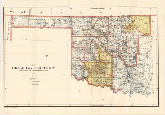
"[Lot of 2] Map of Oklahoma Territory. Compiled from the Official Records of the General Land Office and Other Sources [and] Map of Oklahoma Territory. Compiled from the Official Records of the General Land Office and from Data on File...", General Land Office

Subject: Oklahoma

Period: 1898-1905 (dated)

Publication:

Color: Printed Color

Size:
21.7 x 14.3 inches
55.1 x 36.3 cm
Download High Resolution Image
(or just click on image to launch the Zoom viewer)

A. Map of Oklahoma Territory..., 1898. A good map of the western part of the present state of Oklahoma that also includes a portion of the steadily shrinking Indian Territory. The lands of the Kiowa, Comanche and Apache are depicted in yellow at the bottom; at the top, tribal holdings of the Osage, Ponca, Kansas, Otoe and Missouri are also colored yellow. Army posts are marked in red -- Ft. Sill, Ft. Reno and the Wood Res. Railroads, public roads and trails are identified by symbols shown in the legend. Land Offices are located at Woodward, Alva, Enid, Perry, Guthrie, Kingfisher, Ft. Reno, Oklahoma City, and Mangum. Condition: A colorful example with some faint offsetting. (A)

B. Map of Oklahoma Territory..., 1905. An updated version of the 1898 map that shows a contraction of the lands previously held by the Kiowa, Comanche, Apache and Wichita Indians. Now this area is in county format with small areas designated as grazing lands and reserves. Condition: Faint color offsetting with a few misfolds. (B+)

References:

Condition:

Issued folding. See descriptions above for additional details.

Estimate: $160 - $200

Sold for: $110

Closed on 11/19/2014

Archived