Catalog Archive
Auction 151, Lot 279

"Asher & Adams' Indian Territory and Texas North West Portion", Asher & Adams

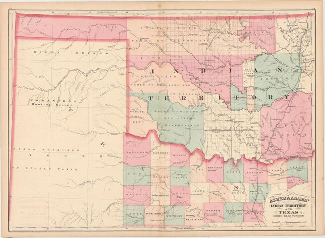
Subject: Oklahoma & Northern Texas

Period: 1874 (dated)

Publication:

Color: Hand Color

Size:
23.1 x 16.4 inches
58.7 x 41.7 cm
Download High Resolution Image
(or just click on image to launch the Zoom viewer)

This map shows lands ceded to numerous Indian Tribes and was intended as a railroad map of Indian Territory. The Missouri-Kansas-Texas Railroad runs north-south along the eastern border of Indian Territory, and was the first railroad to enter Texas from the north, reaching Dallas by 1886. The proposed route for the Texas Pacific Railroad is also shown, which was intended to extend between Marshall, TX and San Diego, CA, but instead was connected with the Southern Pacific Railroad at Sierra Blanca, Texas in 1881.

References:

Condition: B+

Light offsetting with a few spots of foxing in the image.

Estimate: $180 - $210

Sold for: $170

Closed on 11/19/2014

Archived