Catalog Archive
Auction 151, Lot 214

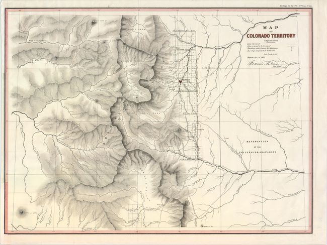
"Map of Colorado Territory", U.S. State Surveys

Subject: Colorado

Period: 1862 (dated)

Publication: HR Ex. Doc. No. 1, 37th Cong., 3rd Sess.

Color: Hand Color

Size:
22.3 x 16.3 inches
56.6 x 41.4 cm
Download High Resolution Image
(or just click on image to launch the Zoom viewer)

This is the second official map of Colorado that is signed in the plate "Denver: Sept. 1st 1862. Francis M. Case Sur. Genl." The map carries excellent detail as it is drawn on a scale of 18 miles per inch. Details include watershed, mountains in hachure, and survey status shown along the plains just east of the Front Range. Locates the towns of Denver (with a miniature street plan), Colorado City (Colorado Springs), Boulder City, Golden City, Pueblo, Idaho, Empire, Centre City, Ft. St. Vrain, and more. Locates and names Pike's Peak, Elk Head Mt., Longs Peak, and the Spanish Peaks. The map is centered on the San Luis Valley and the parks - South, Middle and North. In the plains is the undefined Reservation of the Cheyennes & Araphoes. Park had issued in the previous year a commercial map of the same area with a slightly different title.

References: Wheat (TMW) #1051.

Condition: A

Issued folding, now pressed and backed in Japanese tissue to reinforce folds. A strong impression on a clean, bright sheet. Binding trims at left have been replaced, with neatline replaced in facsimile.

Estimate: $350 - $425

Sold for: $550

Closed on 11/19/2014

Archived