Catalog Archive
Auction 151, Lot 133
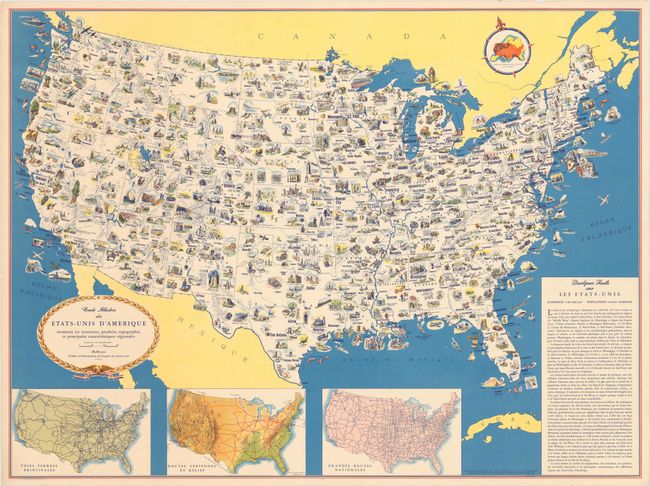
"Carte Illustree des Etats-Unis d'Amerique Montrant les Ressources, Produits, Topographie, et Principales Caracteristiques Regionales",
Subject: United States
Period: 1944 (circa)
Publication:
Color: Printed Color
Size:
31.3 x 23.4 inches
79.5 x 59.4 cm
Download High Resolution Image
(or just click on image to launch the Zoom viewer)
(or just click on image to launch the Zoom viewer)