Catalog Archive
Auction 150, Lot 92

"Amerique Septentrionale", Malte-Brun, Conrad

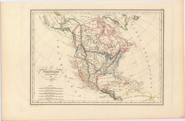
Subject: North America

Period: 1835 (dated)

Publication: Atlas Complet du Precis de la Geographie Universelle…

Color: Hand Color

Size:
11.9 x 8.6 inches
30.2 x 21.8 cm
Download High Resolution Image
(or just click on image to launch the Zoom viewer)

An attractive map that shows all of North America, the Caribbean, and the northern portion of South America. This map was made just before Texas declared its independence in 1836, and shows Texas as a province within Mexico. The border between the United States and Canada extends into present-day British Columbia, reflecting U.S. interests in the area. Topography is depicted by hachure, and many native tribes are noted. The title is embellished with flourishes and five distance scales. Engraved by Thierry.

References:

Condition: A

Clean and bright with one errant spot of color at top left.

Estimate: $100 - $130

Sold for: $75

Closed on 9/17/2014

Archived