Catalog Archive
Auction 150, Lot 79

"America", Dower, John

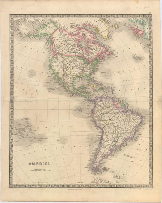
Subject: Western Hemisphere - America

Period: 1844 (circa)

Publication: A New General Atlas of the World

Color: Hand Color

Size:
13.3 x 16.2 inches
33.8 x 41.1 cm
Download High Resolution Image
(or just click on image to launch the Zoom viewer)

The United States and Great Britain established in 1818 joint claim over the Oregon Territory - the region north of Spanish controlled Upper California up to the southern boundary of Russia's Alaska Territory at North latitude 54°40'. By the late 1830's this arrangement was beginning to fall apart. In the 1840's the expansionist Democrats, including their 1844 presidential candidate, James Polk, claimed the entire region for the United States. Their expansionist desires were expressed by Polk's famous campaign slogan, "Fifty-four Forty or Fight!" The slogan also became a rally cry for Americans desiring to settle the territory. Following Polk's election, the dispute was resolved by the 1846 Treaty of Oregon, which struck a compromise that fixed the U.S./Canadian boundary at 49º North.

Well engraved map that features the Independent Republic of Texas with the long stovepipe border extending north to the 42nd parallel. Mexico is in control of the Southwest while the border with Canada is depicted along the Columbia River, reflecting British claims in the region. Alaska is Russian Territory, and Canada in its entirely is labeled British Territory. The map extends to include all of Central and South America. Published by Henry Teesdale & Co. in London.

References:

Condition: B

Attractive original color with minor soiling and a 6" centerfold separation closed on verso with archival material.

Estimate: $180 - $220

Sold for: $130

Closed on 9/17/2014

Archived