Catalog Archive
Auction 150, Lot 751

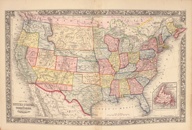
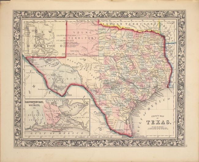
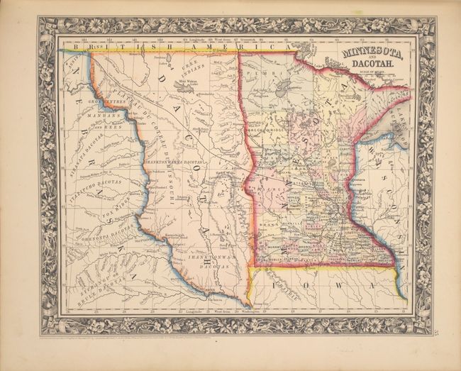
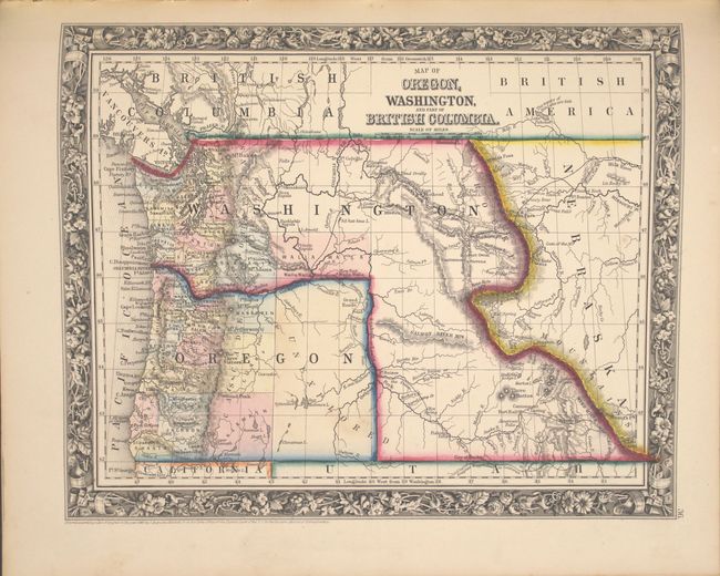
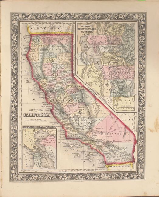
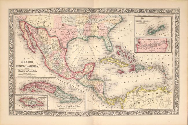
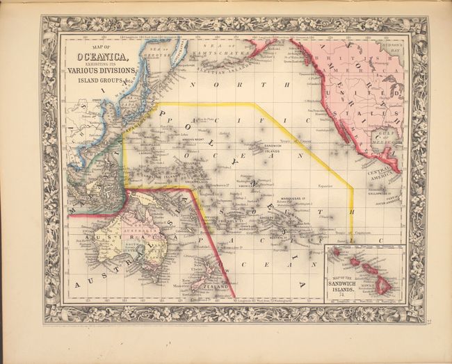
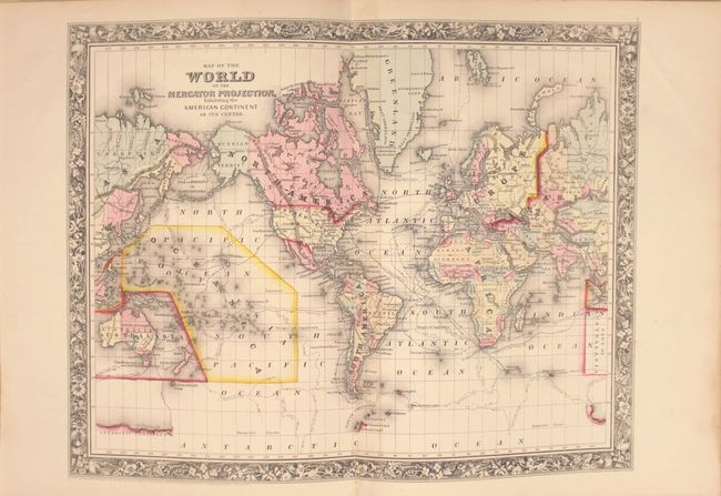
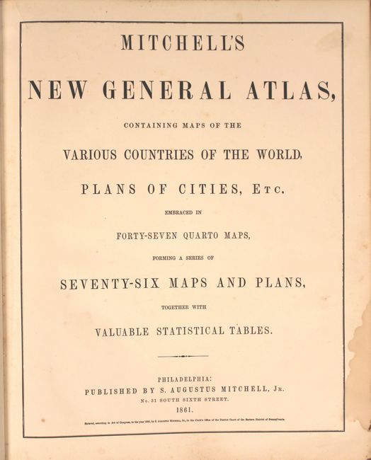
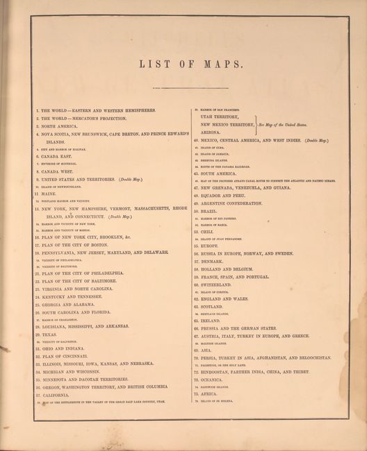
"Mitchell's New General Atlas, Containing Maps of the Various Countries of the World, Plans of Cities, etc. Embraced in Forty-Seven Quarto Maps, Forming a Series of Seventy-Six Maps and Plans, Together with Valuable Statistical Tables", Mitchell, Samuel Augustus

Subject: Atlases

Period: 1861 (published)

Publication:

Color: Hand Color

Size:
13 x 16 inches
33 x 40.6 cm
Download High Resolution Image
(or just click on image to launch the Zoom viewer)

This complete example of Mitchell's world atlas was produced during the first year of the Civil War. It is complete with 77 maps and plans on 48 sheets (inclusive of an unnumbered Plan of New Orleans not in the table of contents), each surrounded by Mitchell's signature floral border. There are 23 map sheets related to the United States including 31 individual states and territories, regions and city plans. There are two world maps - one hemispheric and the other drawn on Mercator's Projection.

The map of Texas shows county development to 100° longitude with the large regions of El Paso, Presidio and Bexar Territory further west. The Staked Plain is now called Young Territory. The map of the United States depicts the Confederate Territory of Arizona, Nebraska with a long panhandle, and Washington Territory in its inverted "L" shape. The Pony Express route is depicted as are numerous exploration routes, important trails including the Santa Fe, the Overland Mail Route to California, wagon roads and early railroads. This 1861 edition did not include a separate map of the southwest, however on the U.S. map the southern tip of Nevada is contained as part of New Mexico Territory, and Utah encroaches a full degree into Nevada. Includes full-page plans of the cities of Boston, New York, Philadelphia, Baltimore, New Orleans and Cincinnati. All maps carry the 1860 copyright date.

Hardbound small folio, publisher's quarter calf with tips over cloth covered boards, stamped title on front cover. Title page, list of maps, and maps and plans are followed by 26 pages of text: List of Post Offices in the United States, Table of Population, Governments. &C., Mountains of the World, and Rivers of the World.

References:

Condition: A

Condition code is for the maps which are generally clean and bright with some occasional light soiling or spot of foxing confined to the blank margins. There is a small damp stain in the lower right blank margin of the title page, list of maps, and hemispheric map. The text pages are lightly foxed. Signatures are partially loose, while the covers and spine are rubbed and stained.

Estimate: $1,200 - $1,500

Sold for: $1,600

Closed on 9/17/2014

Archived