Catalog Archive
Auction 150, Lot 746

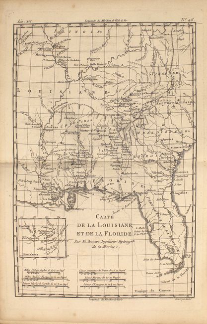
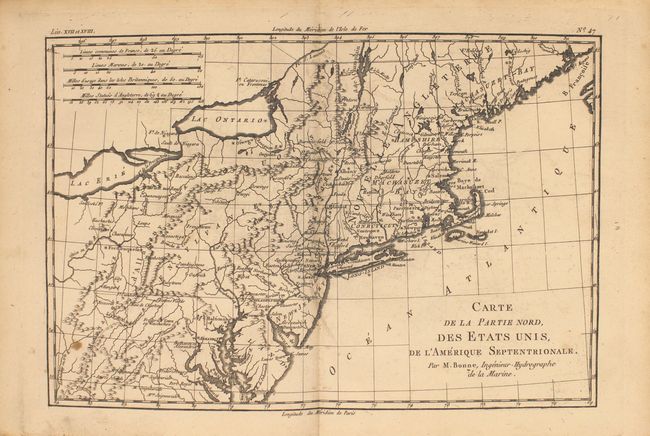
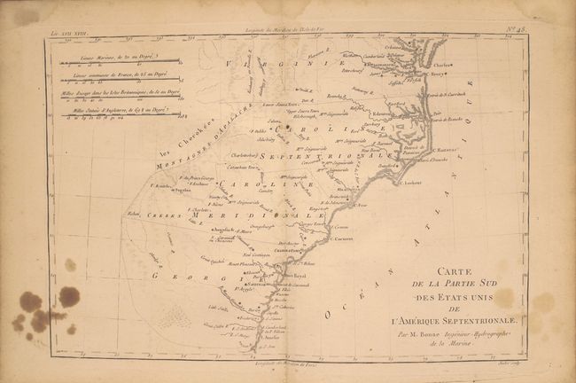
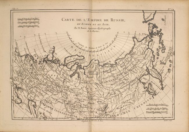
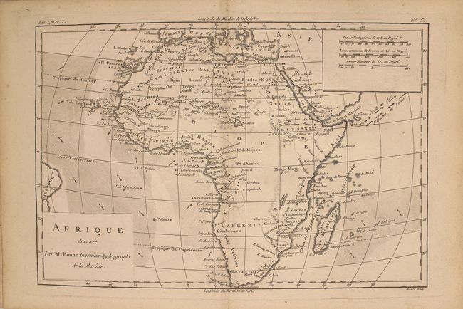
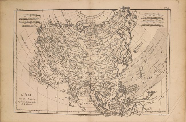
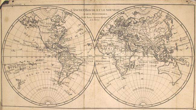
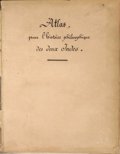
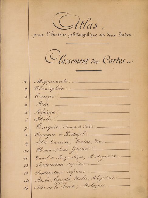
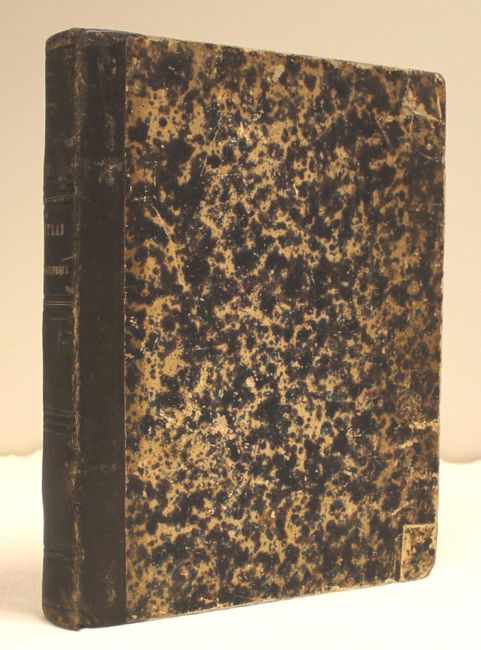
"Atlas de Toutes les Parties Connues du Globe Terrestre, Dresse Pour l'Historie Philosophique & Politique…", Bonne/Raynal

Subject: Atlases

Period: 1780 (circa)

Publication:

Color: Black & White

Size:
8.3 x 10.3 inches
21.1 x 26.2 cm
Download High Resolution Image
(or just click on image to launch the Zoom viewer)

This is the atlas volume for Abbe Raynal's "L'Histoire Philosophique et Politique des Etablissemens et du Commerce des Europeens dans les Deux Indes" and is filled with Bonne's well-drawn maps and charts engraved by Andre. The title page, list of maps, and Analyse Succincet de Cet Atlas are not present but a manuscript title page and list of maps have been included (see images). Map collation appears complete.

The map contents include two world maps, Europe, Asia, Africa, ten related to Europe, three related to Africa, two related to India, Arabia, the East Indies, the Moluccas, China, Persia, Philippines, Russia, six related to South America, several Caribbean charts, plus North America and those related: Mexico; le Nouveau Mexique; Terre-Neuve, Acadia...; Occidentale du Canada; Louisiana & Florida; Partie Nord des Etats Unis; and Partie Sud des Etats Unis.

In the North America map, the entire western part of the continent is left mostly blank. Indian tribes occupy the edges of the defined territory -- Apaches, Sioux, Outagamis, and Assenipouels. The British Colonies and a few major cities are named along the eastern seaboard and in the Great Lakes region. Alaska is shown as a group of islands, the largest of which is labeled Alaschka.

Quarter-calf over marbled boards with gilt tooling and title on spine. The atlas volume did not carry any publication information on the title pages, but was known to be published in 1780.

References:

Condition: B

The maps are generally very good to near fine except the following: the world map (B) is somewhat soiled with a small burn mark in the top left corner just touching the neatline; and the maps of the Southeast United States and West Indies at the back of the volume have some small brown stains in the image. The hinges are perished and have been replaced with archival tape, which also serves to hold the manuscript title page and list of maps in place. Covers are bumped and worn with just a few minor cracks along the joint.

Estimate: $1,500 - $1,800

Sold for: $750

Closed on 9/17/2014

Archived