Catalog Archive
Auction 150, Lot 703

"A Chart of Captn. Carteret's Discoveries at New Britain, with Part of Captn. Cook's Passage Thro Endeavour Streights, & of Captn. Dampier's Tract & Discoveries in 1699, & 1700, at New Guinea & New Britain", Hogg, Alexander

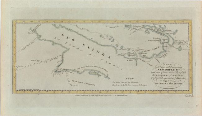
Subject: South Pacific Ocean

Period: 1780 (circa)

Publication:

Color: Hand Color

Size:
14.1 x 5.9 inches
35.8 x 15 cm
Download High Resolution Image
(or just click on image to launch the Zoom viewer)

This sea chart of Papua New Guinea shows the new discoveries of Captains Cook, Carteret, and Dampier along New Guinea, New Britain, and New Ireland. The chart details the path of Captain Cook's voyage along the southwestern coast of the island of New Guinea in today's Irian Jaya, Indonesia's easternmost province. Cook sailed between Australia and New Guinea and proved the existence of the Strait of Torres. The chart also details the explorations of Carteret and Dampier which focused on the northern portion of New Guinea and the nearby Pacific islands. Engraved by Thomas Conder.

References:

Condition: A

On a watermarked sheet with a couple of small unobtrusive spots.

Estimate: $100 - $130

Sold for: $75

Closed on 9/17/2014

Archived